May 2026
From green farmlands to the turquoise ocean
Although I had severe back pain, I was still looking forward to our ride back home after our visit at Arniston Hotel. Berto made my seat in our ‘bakkie’ quite comfortable with a soft blanket and cushions (almost like a bird’s nest) and I made sure there were enough painkillers, hot water bottles, and bean bags on hand.
We decided to take a different road back home – a road that would first take us through green farmlands and then towards the ocean on a route known as the Cape Whale Route.
Kassiesbaai:
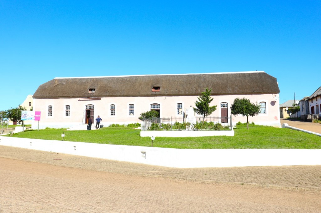
Our first stop was literally within a minute of leaving Arniston Hotel. Kassiesbaai, a quaint fishing village in Arniston, was declared a national heritage site in 1986. Its narrow streets are flanked by thatched and stone cottages.
The best way to explore Kassiesbaai is on foot. Some of the houses are decorated with fishing paraphernalia and there is even a small restaurant and art shop. If it weren’t for my back injury, we would have enjoyed exploring Kassiesbaai – but alas, not this time.
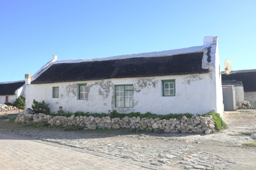
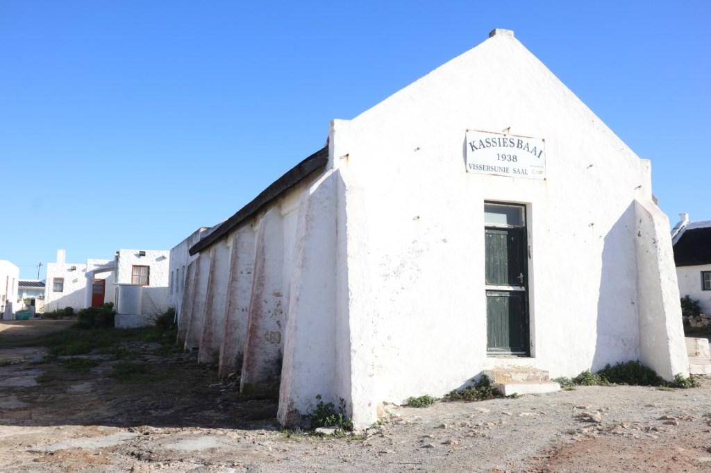
Characteristic houses in Kassiesbaai
Before we could drive any further, we first had to stop to fill up on diesel. I am usually the one who quickly runs into the shop to buy snacks for the road, but since I could barely walk, Berto took care of it – it was quite interesting to see what he found in the shop.
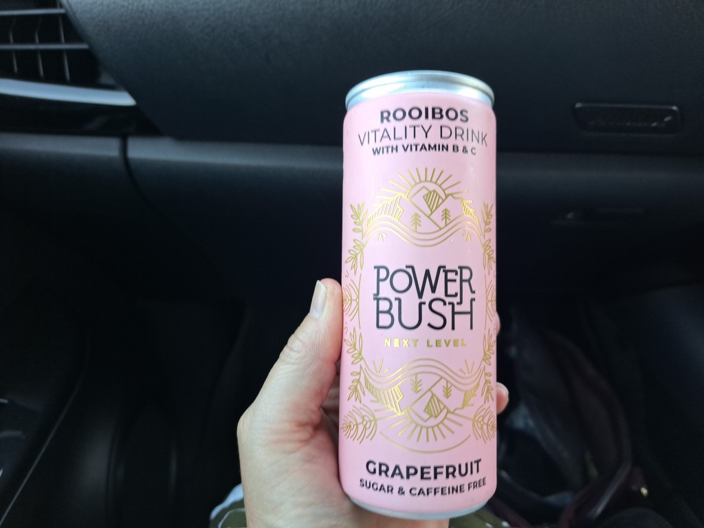
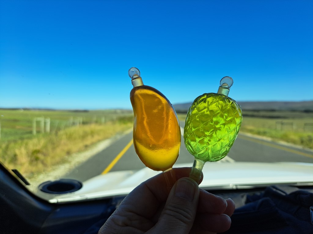
Drinks for the road
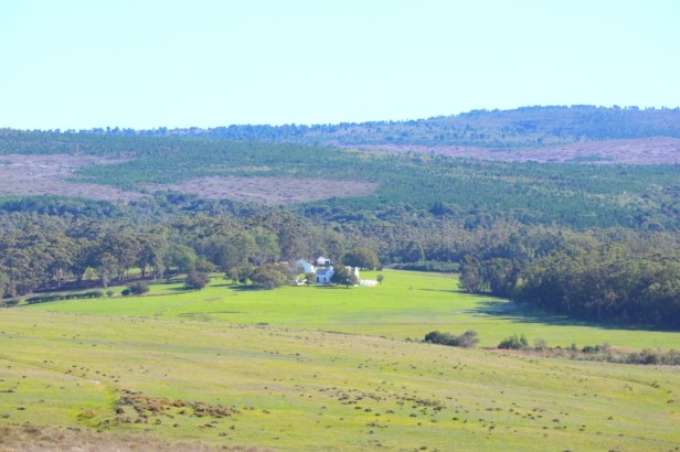
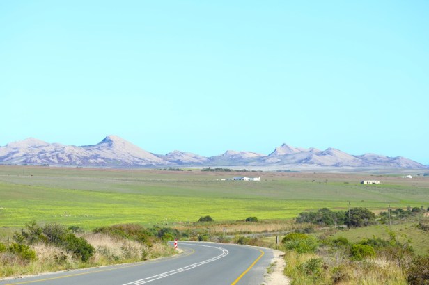
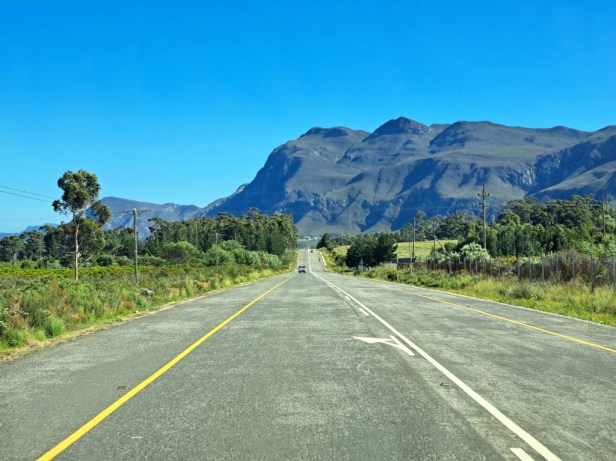
We decided to follow the tarred road from Bredasdorp to Elim. Originally a Moravian mission station, Elim was founded in 1824. To reach Elim, we drove past lovely green farmlands. Winter hadn’t really started yet, but this area had already received good rain.
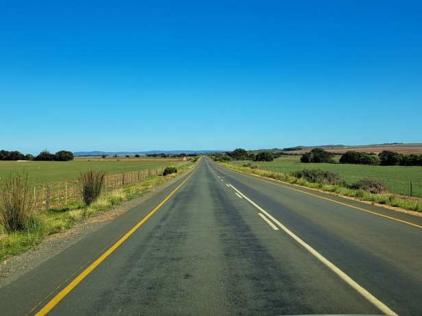
Green farmlands on the way
Elim:
The town of Elim is also, just like Kassiesbaai, a national heritage site. To explore this town, it’s best to park at the end of the main street and then stroll through the town. But yeah – you know. So, we stopped at the old Moravian church at the top of the street and Berto walked around to take a few pictures (while I enjoyed some of the snacks in the ‘bakkie’).

Arriving at Elim
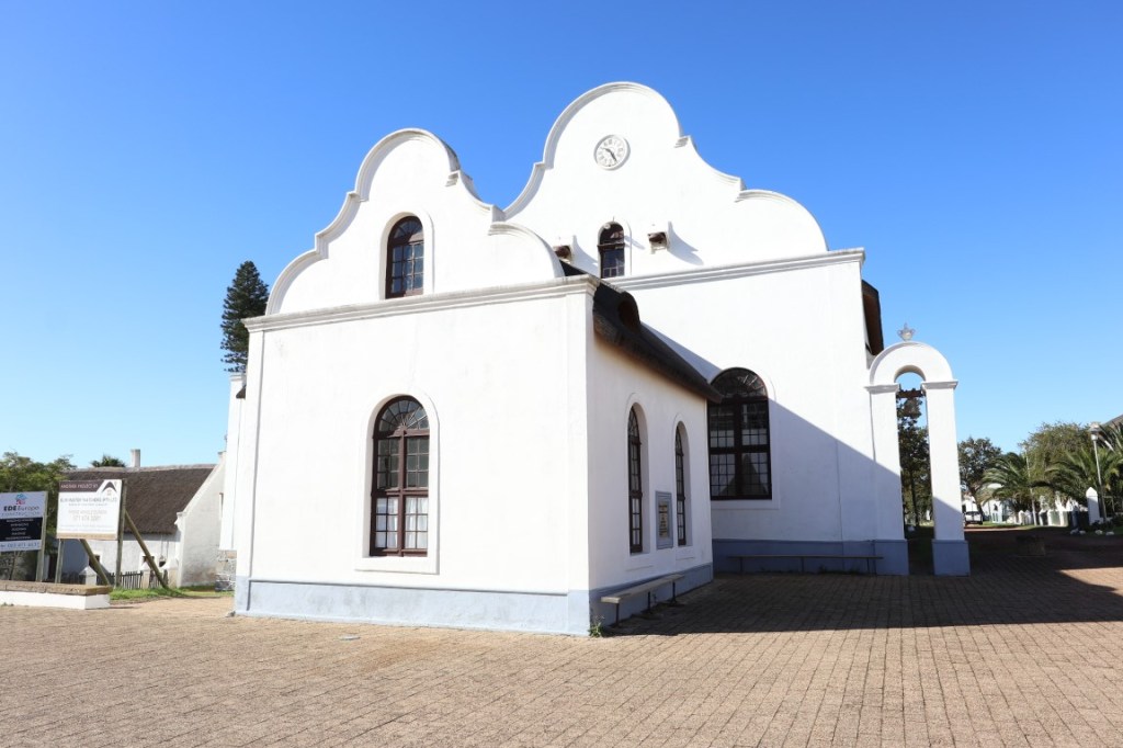
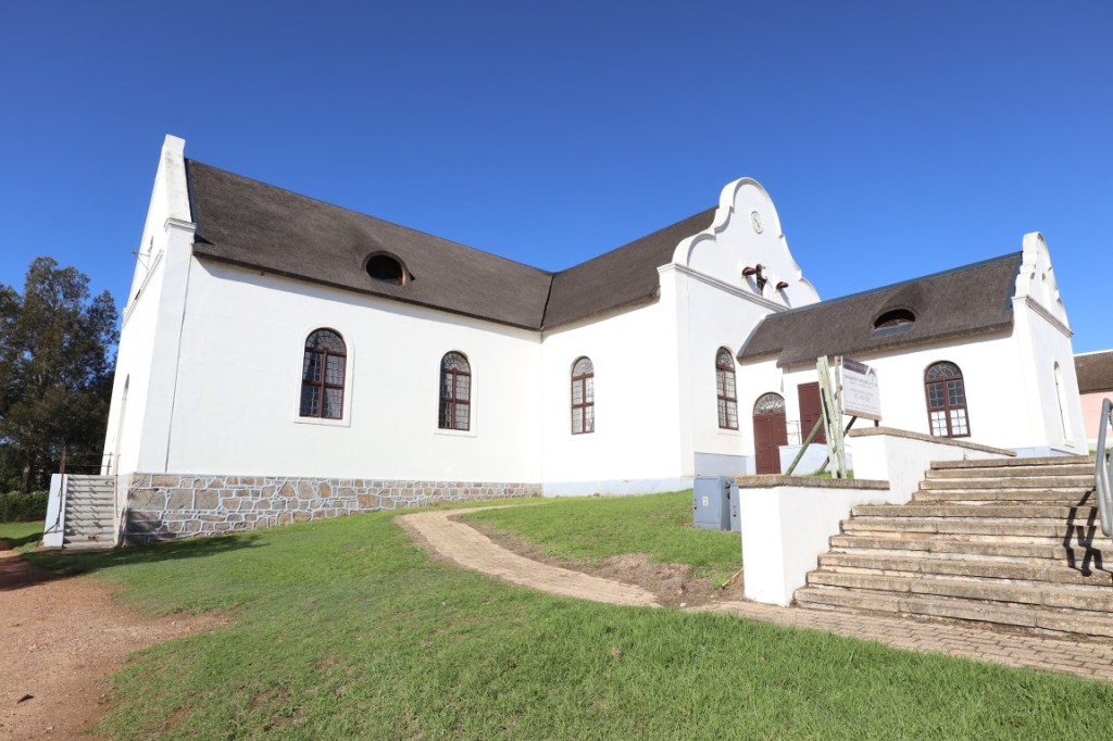
Old Moravian church (1865)
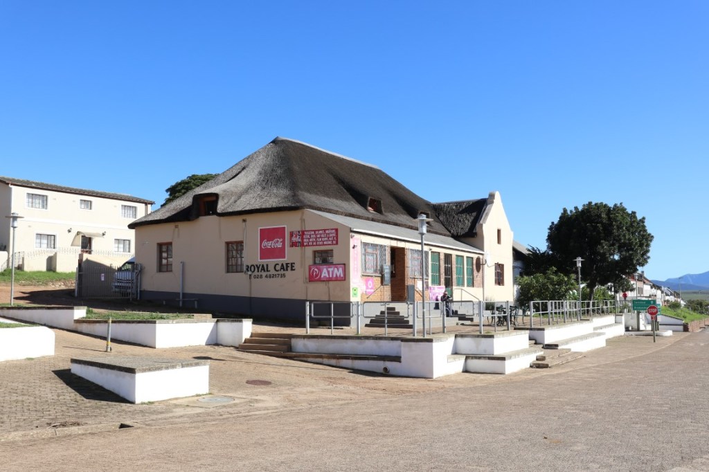
Public service centre and the Royal Cafe
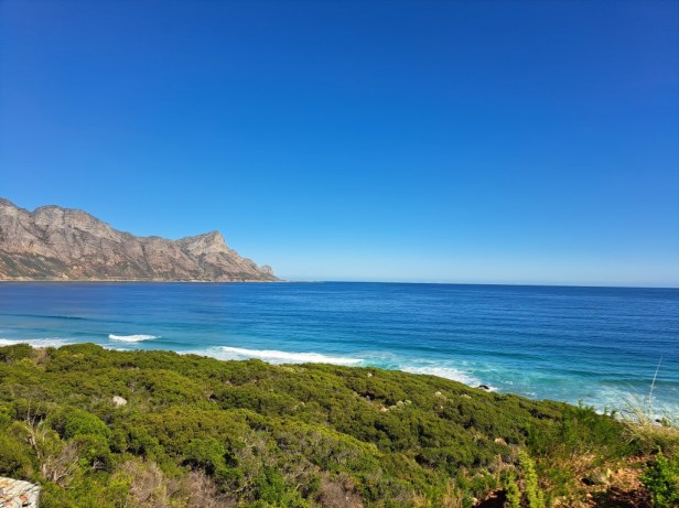
There are several unique wineries in the area around Elim. This is the southernmost ward of wine production in the Western Cape and apparently the climate here allows grapes more time to ripen and develop a balance between acidity and sugar levels – which means good wines. We didn’t stop at any wineries but enjoyed the scenery on the way.
Wine area around Elim
Baardskeerdersbos:
Baardskeerdersbos (or B’Bos as the locals call it) is surrounded by fynbos-covered hills, farms, and valleys. The name Baardskeerdersbos literally means ‘Beard Shaver’s Forest’ and is inspired by a myth that a small spider-like animal (arachnid) pads their nests with beard hair sheared from sleeping men. Although it’s a very small town, tourists like to come here to visit art galleries, markets, and boutique wine cellars.
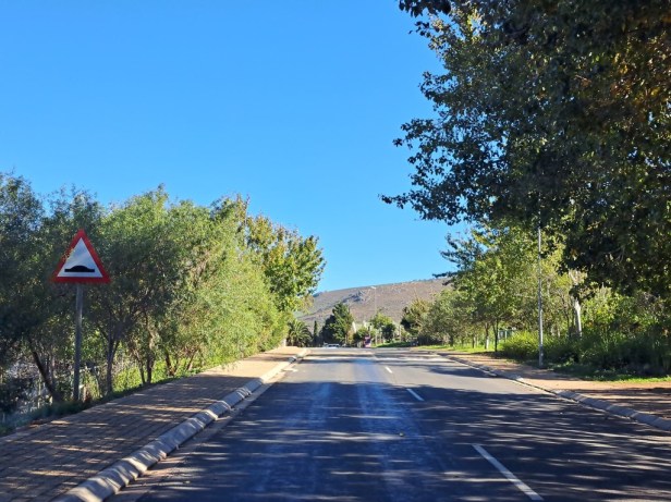
Driving through Baardskeerdersbos
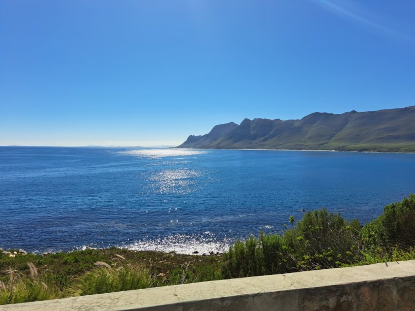
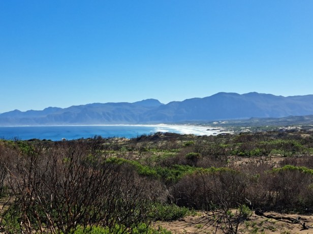
From Baardskeerdersbos it is just 16km/10 miles to the coast and we could already see the high sand dunes from afar.
High sand dunes in the distance
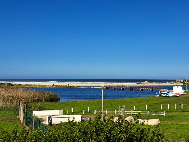
Small seaside towns like Pearly Beach and Franskraal are situated a short distance from the main road and are very popular in the summer months when tourists usually flock here. We didn’t leave the main road and continued along the sea to the next coastal town, Gansbaai.
Gansbaai:
The name Gansbaai comes from a flock of Egyptian geese that used to hang out at a freshwater fountain that has been revamped in the harbour. This fishing town’s real claim to fame is its reputation for being the Great White Shark Capital of the World.
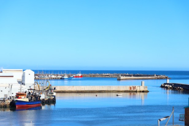
Gansbaai Harbour
While whales can be spotted from April – December here, it’s shark-cage diving that Gansbaai is most known for. It’s described as a thrilling experience that offers up close encounters with some of the ocean’s most magnificent creatures. I think I’ll stick to hiking though.
Somewhere out there sharks are lurking
From Gansbaai to the next seaside town, Hermanus, the road turns slightly inland before taking us back to the coast.
We will soon reach the Kleinrivier Mountains in the distance
Approaching the Kleinrivier Mountains
Hermanus:
Hermanus is the largest town in this region and definitely deserves its own post. This town is best known for whale watching between August and October, and during the last week of September, the annual Whale Festival is held in Hermanus.
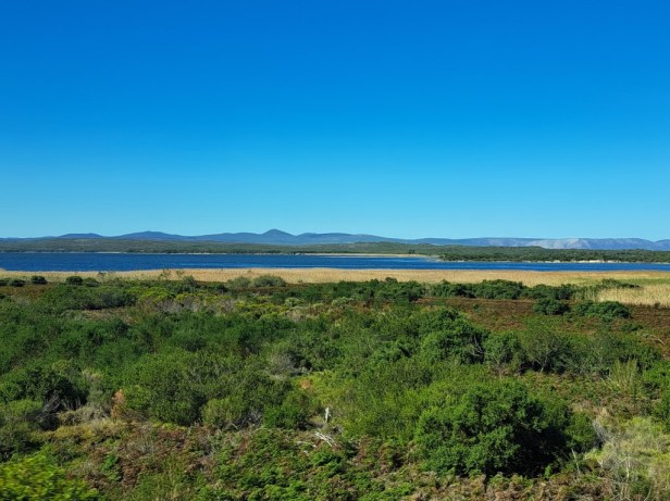
Kleinriviersvlei, on the outskirts of Hermanus
Hermanus is very popular among tourists, especially with the presence of museums, galleries, restaurants, plenty of accommodation, the 12km Cliff Path, lagoon, as well as the Fernkloof Nature Reserve. We plan to visit Hermanus for a weekend – hopefully in whale season – and then we will tell you all about this beautiful town.
View of Walker Bay at Hermanus
Just outside Hermanus is the world-renowned and prestigious 18-hole Arabella Golf Course. It integrates perfectly with the natural surroundings, offering breathtaking views of the Bot River Lagoon and the Kogelberg Mountains.
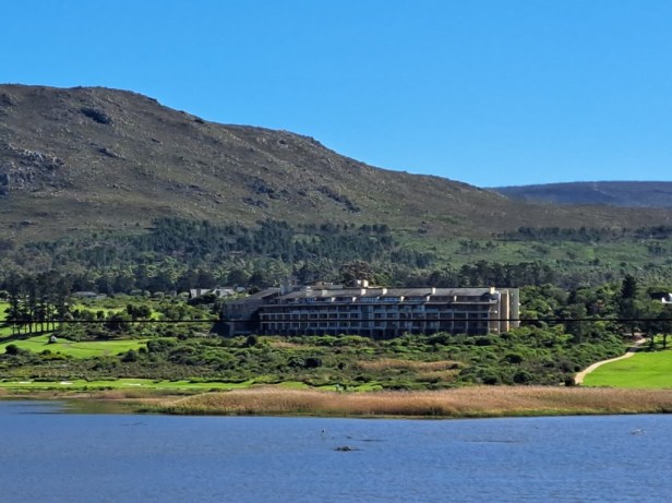
Arabella Hotel and golf course
We drove past other small places like Onrus and Hawston before arriving at the next lovely seaside town of Kleinmond.

Kogelberg mountain range close to Kleinmond
Kleinmond:
If Hermanus is perhaps a tad too busy for your liking, then Kleinmond is a great alternative. The Bot River forms a lagoon and empties into the sea near Kleinmond, while the Palmiet River also flows into the sea at Kleinmond. The main road (R44) that we followed, runs through the town and forms Kleinmond’s main street.
At the entrance of Kleinmond
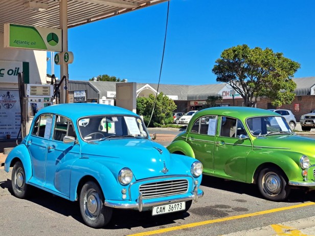
Quirky cars in the main street of Kleinmond
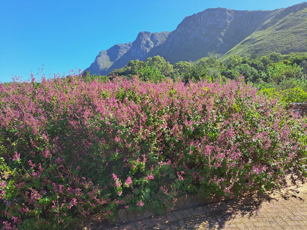
The next town, Betty’s Bay, is just 12km/7.5 miles from Kleinmond. On the way, we still had the majestic Kogelberg mountain range on our right. It is truly one of the most beautiful routes to drive – mountains on one side and the sea on the other.
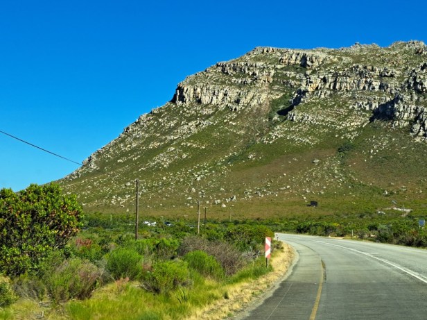
Kogelberg mountain range between Kleinmond and Betty’s Bay
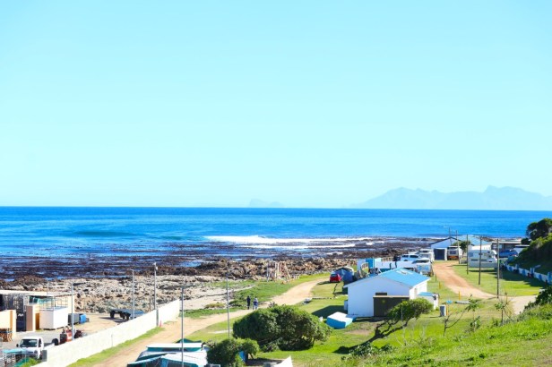
Betty’s Bay:
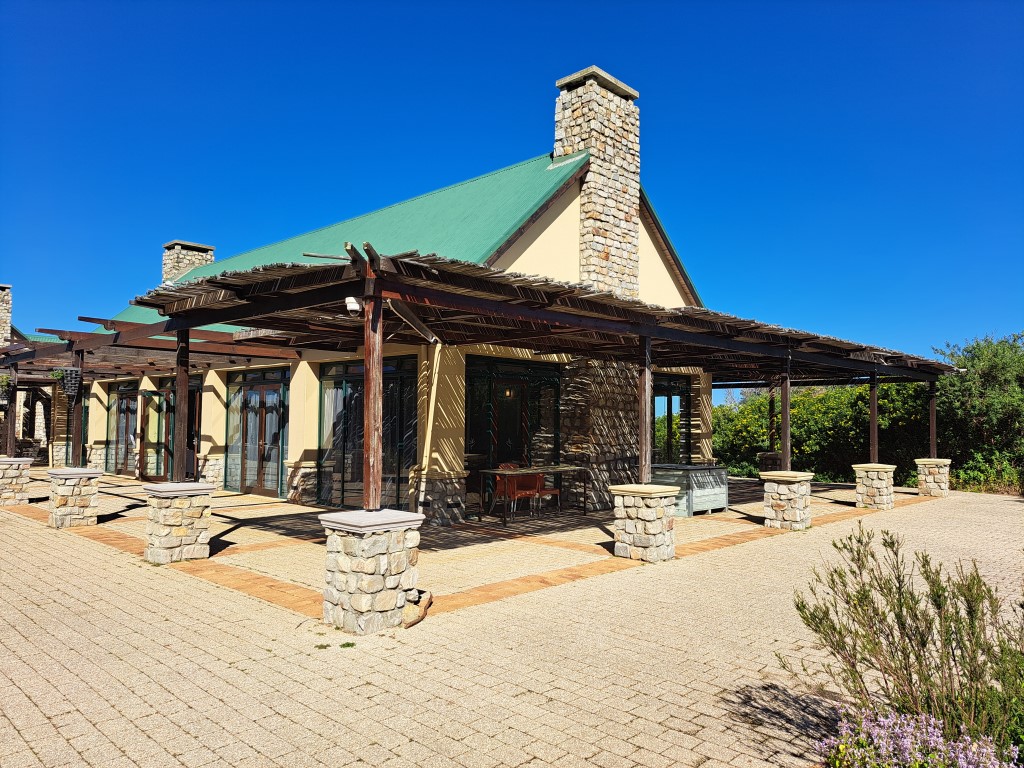
Betty’s Bay is home to one of three land-based penguin colonies in South Africa. The Stony Point African penguin colony is the main attraction in Betty’s Bay – a place we visited a long time ago. Another place we have also visited before is the Harold Porter National Botanical Garden. We did one of our last hikes here in preparation for our Camino Frances in 2017. This time, however, hiking was definitely not on our list to do, but rather lunch in their restaurant. (Please note that garden entrance fees apply to all visitors, even those visiting the restaurant only).
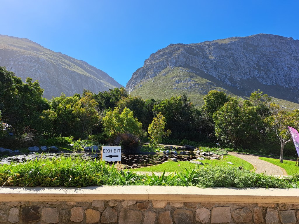
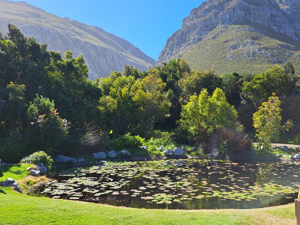
Harold Porter National Botanical Garden in Betty’s Bay
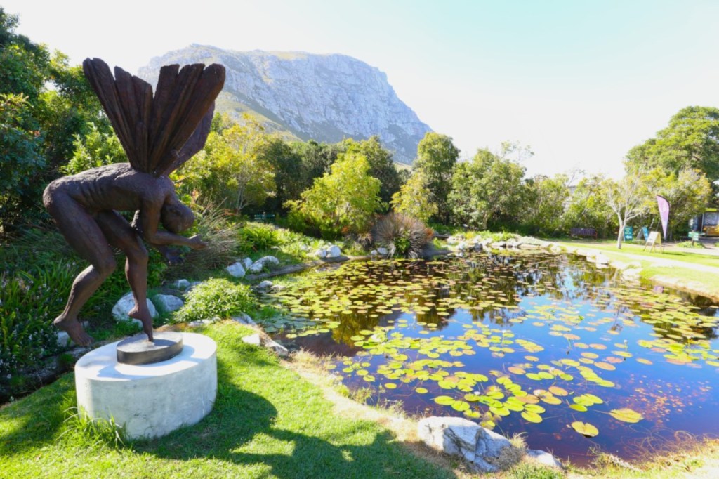
The Garden Restaurant and statue at the pond
Berto had a cold Appletizer, and I ordered my favourite hot drink, Rooibos Cappuccino. The Spinach & Feta Quiche with salad was also delicious.
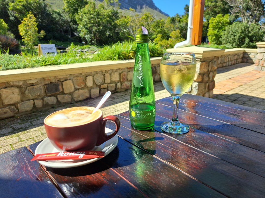
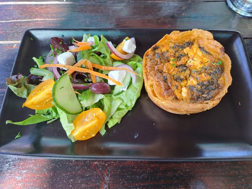
Lunch at the Harold Porter National Botanical Garden
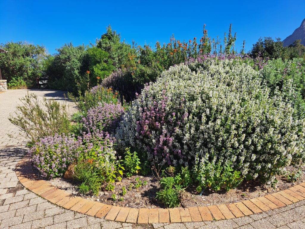
Sweet smelling fynbos at the botanical garden
After we enjoyed lunch in such a beautiful garden, it was time to drive the last stretch back home. By this time my back was quite sore from the long sit but fortunately, I could (slightly) forget about that while we drove through this beautiful landscape.

Leaving Betty’s Bay behind
Pringle Bay:
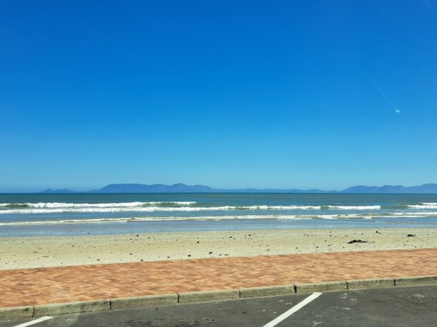
Pringle Bay is a relatively undeveloped settlement of mostly holiday houses. Yet, there are a few restaurants here and you have an amazing view over False Bay. This is also another great place to spot whales from the shoreline any time from May to December.
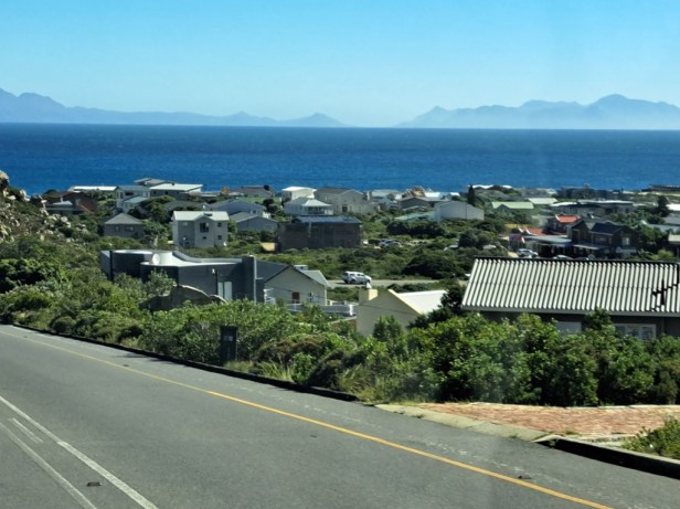
Pringle Bay
Clarence Drive:
In my opinion, apart from Chapman’s Peak near Hout Bay, which we have written about on our blog a few years ago (read here), Clarence Drive must be one of the most magnificent coastal drives in the greater Cape Town area.
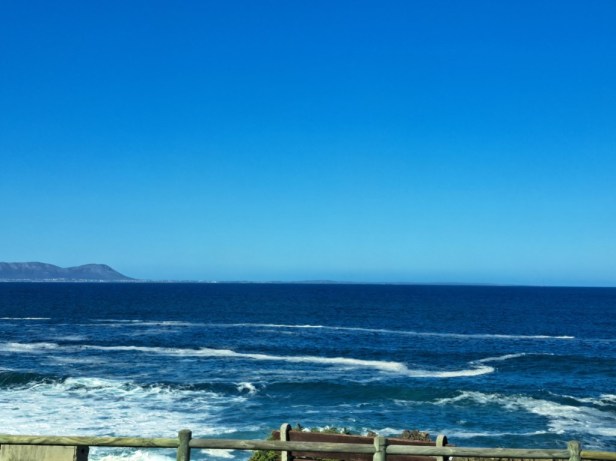
View of False Bay from Clarence Drive
Clarence Drive stretches over 21km/13 miles and follows the wild turquoise Cape coastline all the way until you reach the naval town Gordons Bay. This tarred road is in excellent condition and during sunny weekends you’ll find tourists, locals, bikers, and cyclists here. There are plenty of parking spots along the road where you can pull over to admire the beautiful views.

The road will take you around that corner of the Hottentots Hollands Mountains in the distance
Looking back from where we came
Strand:
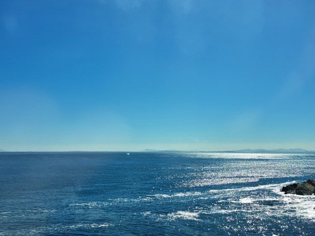
When you reach Gordons Bay, this will be the end of the Cape Whale Route. If you stick close to the ocean, like us, Strand will be the last town from where you will have views over the ocean.
View over False Bay from the beach at the seaside town of Strand
The Cape Whale Route gave us everything – from green farmlands, stunning mountains to an endless blue ocean, and even a botanical garden lunch. We hope to return when the whales arrive.

Well, you got there, so you had to get back again, Corna. I love the mountain backdrop, which would ease some of the pain xx
LikeLiked by 1 person
Exactly, and I thought if we have to drive back home anyway, it might as well be a scenic road 😉. You’re right Jo, the mountains on this route are incredibly beautiful – it’s almost a case of ‘should I look at the sea or rather the mountains’ … best of both worlds, I guess.
LikeLiked by 1 person
What a beautiful drive with a gorgeous sky, too bad you couldn’t get out to enjoy it. Has Berto ever gone cage diving? I think that’s one adventure I’ll skip. Maggie
LikeLiked by 1 person
This route can probably be seen as one of the most scenic ones in South Africa … and the blue sky definitely helped 😉. No, Berto has never done cage diving, but I don’t know if you remember a few years ago when he dived among sharks in Umkomaas on the south coast of KwaZulu-Natal (without a cage). But I think Great White Sharks are a totally different story!
LikeLiked by 1 person
We’ve seen sharks when diving too, but not Great White, and I hope I never do 😊
LikeLiked by 1 person
Cape Whale Route is truly stunning and, like you mentioned, it has has a wide variety of terrain. It’s too bad that your back was so sore, but Berto sounds like a gem for taking such good care of you. I agree with you about the shark cage; I think I’d have a heart attack! Lovely post and photos, Corna.
LikeLiked by 1 person
It’s one of those routes that both mountain and sea lovers will enjoy. Despite my back pain, it was nice to just sit back and enjoy the beauty around me (and yes, I was grateful to Berto who made sure I was comfortable the whole time). I definitely don’t have the stomach for shark cage diving … luckily there are plenty of beautiful hiking trails in the area to keep me busy 😁.
LikeLiked by 2 people
Love Gansaabi harbour, could sketch there for sure.
LikeLiked by 2 people
Gansbaai harbour is picture perfect, Terry – I think on this route there will be quite a few places where you’ll enjoy sketching. When can we expect you and Tricia 😉.
LikeLiked by 1 person
Thank, but i think you will need to sketch for me, but it is tempting.
LikeLiked by 1 person
What a beautiful drive back, I’m just so bad you couldn’t make the most of it. The landscape with the bays and mountains is beautiful, and Betty’s Bay in particular looks gorgeous.
LikeLiked by 1 person
At least the beautiful views made me forget for a few hours how painful my back was (although later that evening I paid the price for sitting for such a long time 🫣). Betty’s Bay is beautiful – perhaps still one of the last untouched seaside villages on the route, and with that botanical garden it is an absolute pleasure to pay a visit there.
LikeLike
Soos altyd, en jammer vir die pyn, is julle reis mooi en ‘n verposing vir julle volgers soos ekke wat nie al die vistas self sal kan aanskou nie.
LikeLiked by 1 person
Ten spyte van my eina rug, het ek hierdie mooi stuk pad baie geniet. Die see, berge en die reuk van fynbos (wat ek wens ek kon in die skrywe deurgee) … dis ‘n mooi waarvoor ek net nooit moeg word nie. Ek’s bly jy het so sit-sit saam met ons gery!
LikeLiked by 1 person
A very scenic drive Corna. Thanks for sharing it with us.
LikeLiked by 1 person
It is one of the most beautiful coastal routes in the greater Cape Town area. I can’t remember how many times we have driven this route (or just a part of it) and each time I am amazed by the beauty of nature.
LikeLiked by 1 person
I never told you that my brother has a home in Hermanus as well as Cyprus and a flat in England. He much prefers Hermanus but hasn’t been able to get there as often since all the complications in his life. I can see from your wonderful photos and descriptions why he likes it so well. That was a long drive to undertake with a “crook” back, but beautiful scenery des help take the mind off pain. Next time will be better!
LikeLiked by 1 person
Oh, yes, I remember that you mentioned Cyprys before, but I didn’t know your brother also has a house in Hermanus 😲. It’s a pity he doesn’t come here so often, because it’s a beautiful coastal town (and very popular in any season). Although my ‘little nest’ was quite comfortable in our vehicle, I paid the price later that evening because I had been sitting for so long. But like you said, I’m already looking forward to our next trip later this year when it’s whale season!
LikeLike
If any drive could distract you from back pain it would be one as beautiful as this! The scenery is wonderful wherever you look 😮 I’m looking forward to hearing more about this coastline when you revisit it in the future
LikeLiked by 1 person
I love this route – it’s especially nice that the towns are located so close to each other. And as you say, it doesn’t matter where you look, it remains incredibly beautiful. We have added Hermanus to our travel diary again for later this year and hopefully we can show you more of this lovely seaside town (and a whale or two 😉).
LikeLiked by 1 person
Most of the route I know. And continuing on to Muizenberg. A fantastic journey. I’m not in favour of the cage diving. Enticing sharks in for entertainment is wrong. I’ve seen what these sharks can do to people. But whale watching, oh yes. I’ll never forget seeing two Southern Right Whales in False Bay, just off the coast of Muizenberg.
LikeLiked by 1 person
I thought you would know this route well – it’s really one of the most beautiful routes for me. Yes, I think shark cage diving is quite controversial and like you, I would also rather turn to whale watching. How incredible that you saw those Southern Right Whales. I hope we’ll see whales when we visit Hermanus later this year!
LikeLiked by 1 person
Die allermooiste Kaapse see! Dankie vir jou asemrowende foto’s en vir die herinneringe wat uit my hart opgediep is …
LikeLiked by 1 person
Dis daardie einste Kaapse see wat ek altyd die meeste gemis het wanneer ons oorsee gereis het 😊. Tannie Frannie sal weet – wanneer ‘n mens hier rond ry, gaan jy nie ‘n lelike foto neem nie – dis onmoontlik, want oral waar jy kyk, is dit net so mooi!
LikeLiked by 1 person
It’s always nice to take a different route back home to see more of the scenery. And how can you resist when it’s named the Cape Whale Route!?! Looks like an incredibly scenic drive with lots of opportunities to stop and explore some of the towns along the way. And those are some tall sand dunes! While I enjoy diving, I don’t think I could handle shark-cage diving! I’d rather stick to hiking too! The botanical garden looks lovely.
LikeLiked by 1 person
This is definitely one of our most beautiful coastal routes in the country – I can’t remember how many times we’ve driven this route (or parts of it) … and I just never get tired of the stunning views. Those tall sand dunes are pretty amazing and you know me – I just love a botanical garden! It seems to me, if I look at most of the comments, that many of us would rather hike than go shark cage diving. So, out with the diving suits and on with the hiking boots 😁.
LikeLiked by 1 person
That is one spectacular road trip! What a day, even with a bad back. Take care, Mel
LikeLiked by 1 person
If you ever want to travel with a painful back, then this is the ideal road trip to do that 😂.
LikeLiked by 1 person
🙂
LikeLiked by 1 person
I’m curious about the drinks Berto found – are those fruit juices in little fruit-shaped pouches? Also, wow, I’m in awe of those sand dunes. They look so huge! I assumed they were distant mountains. The gardens are beautiful, as are the ocean views.
LikeLiked by 1 person
You’re right, those are mini fruit juices (but you could also call them sugar juices – they were really sweet 😁). And probably meant for little kids, but they definitely put a smile on my face! Those sand dunes are really that huge – I wish we had the time (and not a painful back), then we would have driven there – it’s actually quite spectacular. Hmm, who doesn’t like ocean views, right?
LikeLiked by 1 person