May 2026
The white beaches of Struisbaai and Where two oceans meet at Cape Agulhas
No visit to the Overberg region (or Arniston where we stayed for a couple of days) is complete if you haven’t made a trip to the southernmost point of Africa, known as Cape Agulhas.
Struisbaai:
And fortunately, to get to Cape Agulhas, you will also drive through the beautiful coastal town of Struisbaai, which is just 4km/2.5 miles from Cape Agulhas. Struisbaai is an old fishing village with long white beaches and a beautiful natural harbour. The old, white-washed fisherman’s cottages at the entrance to Struisbaai are national monuments and this is where we made our first stop.
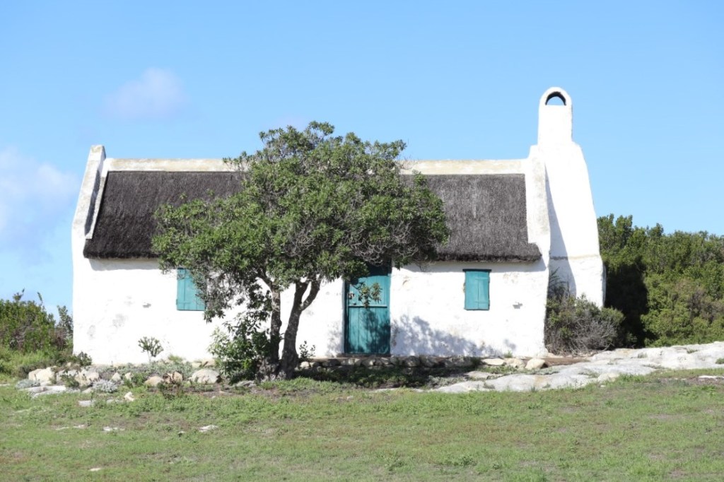
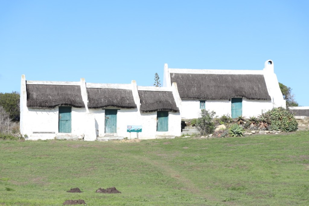
White-washed fisherman’s cottages in Struisbaai
We decided, before we drove to the southernmost point of Africa, to first visit Struisbaai’s quaint little harbour.
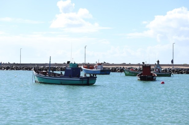
Fishing boats at the harbour in Struisbaai
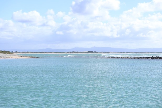
Struisbaai has a natural harbour
The harbour was originally built in 1959 and expanded in 1990. The presence of the colourful fishing boats is synonymous with Struisbaai’s fishing character, and it is especially during the summer months that there is a lot of activity here when fishermen bring their catch from the sea back to the harbour.
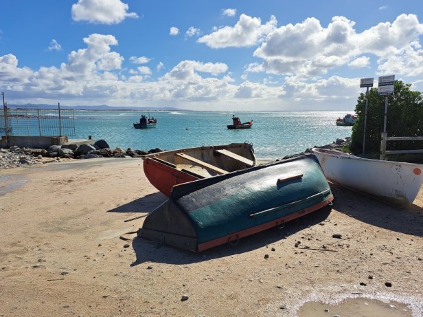
Struisbaai harbour
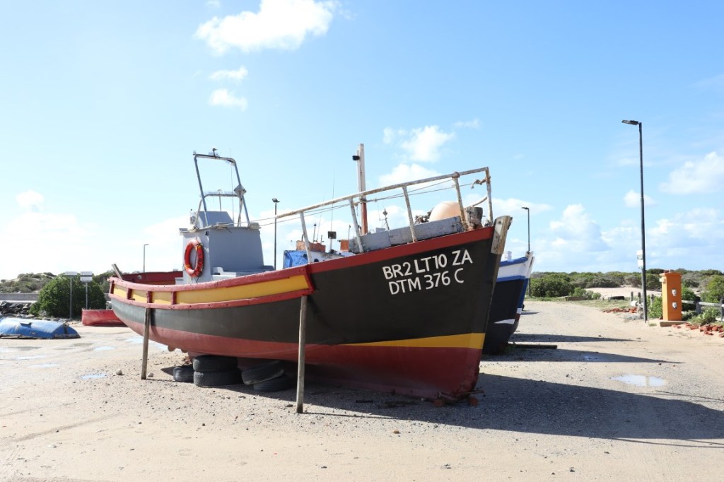
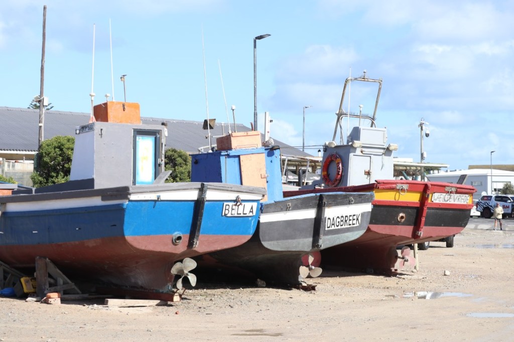
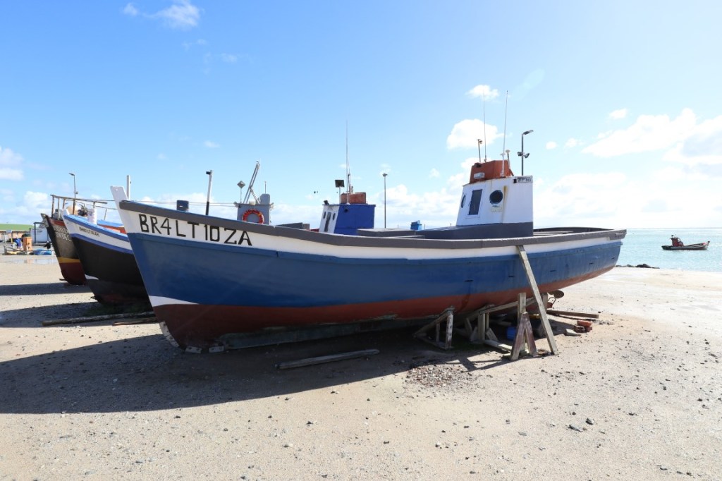
Colourful fishing boats
It was a little chilly to buy ice-cream – there is a small stand which I presume is quite busy during the summer. We rather opted for a takeaway coffee at the Struisbaai Harbour Cafe. After that, we walked to the end of the breakwater where there is a small navigation beacon. A few fishermen were enjoying the morning, while we enjoyed the views.
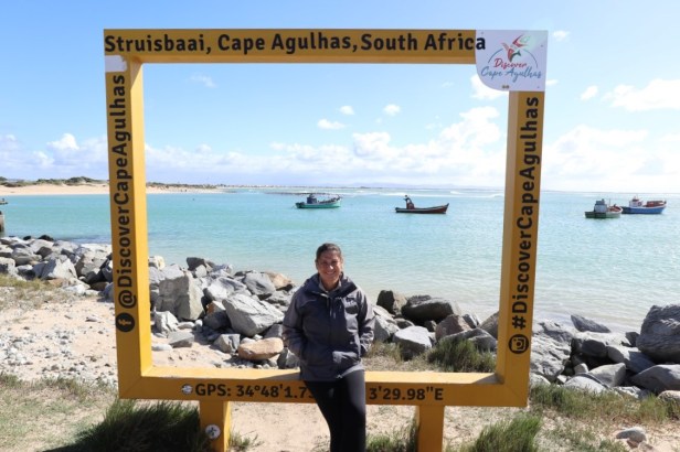
Time for a photo at one of the famous yellow frames at the beginning of the breakwater
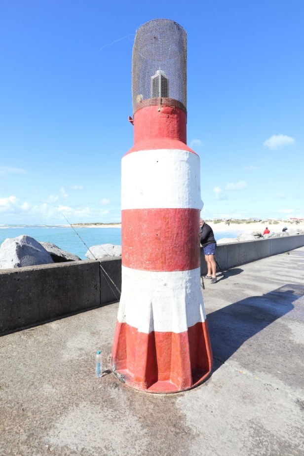
Navigation beacon at the end of the breakwater
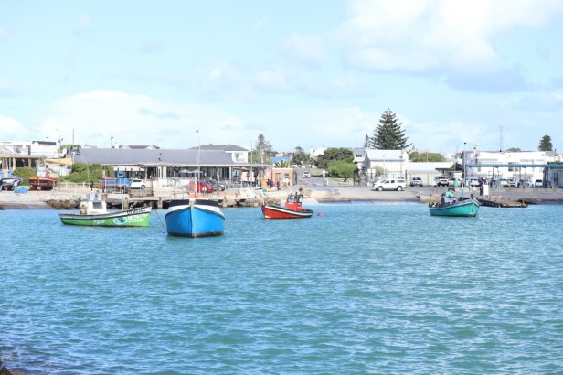
At the end of the breakwater, there are some lovely views towards the fishing boats
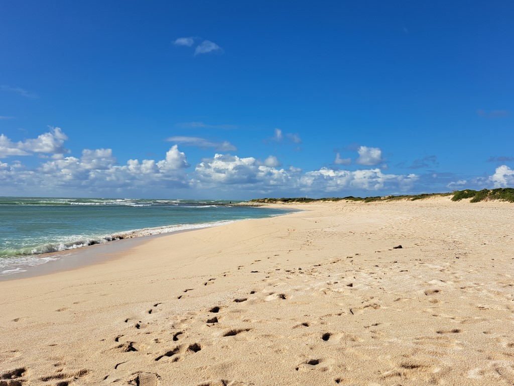
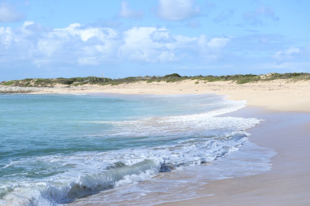
Beautiful white sandy beach
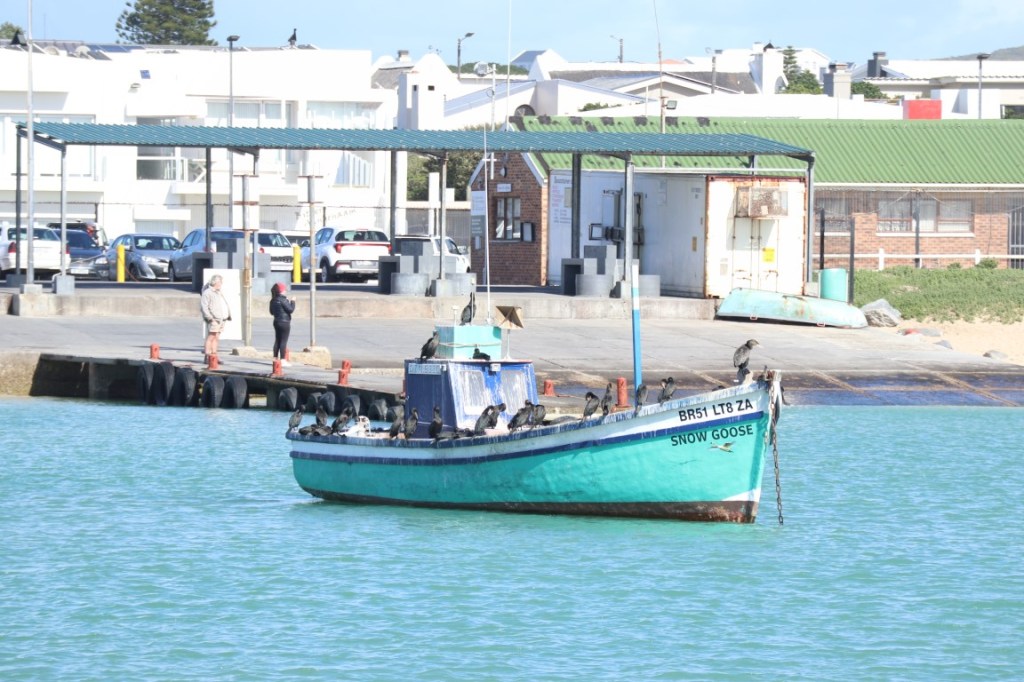
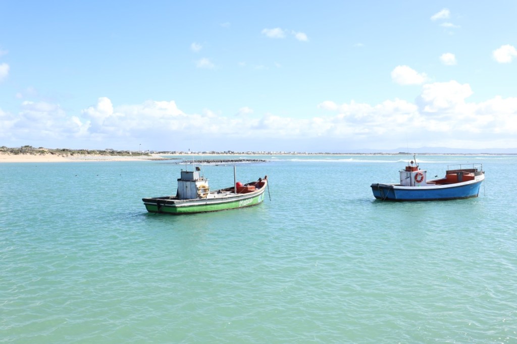
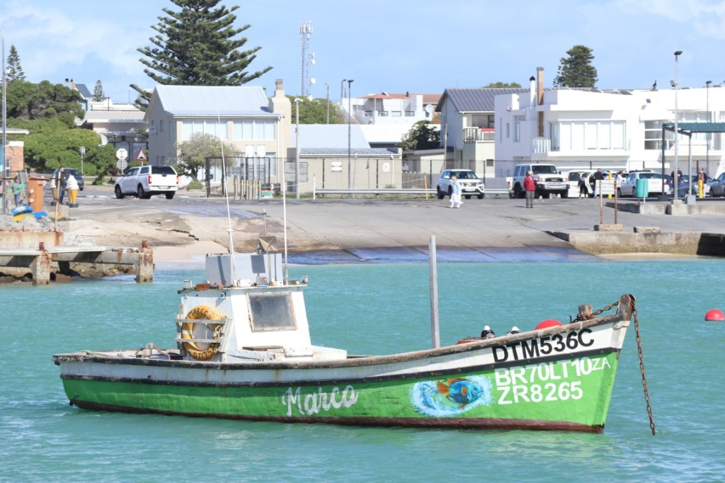
More fishing boats
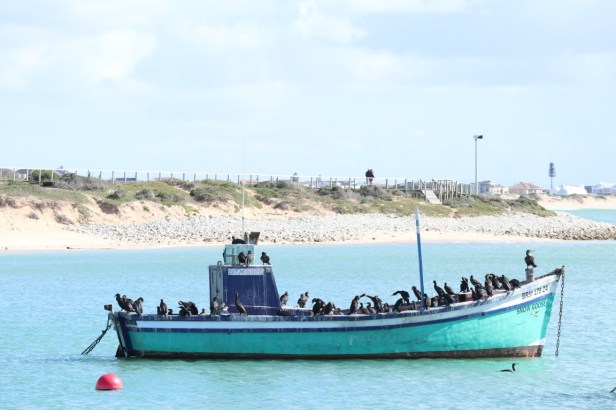
A fishing boat filled with birds
Sometimes visitors may see Struisbaai’s friendly resident stingray, called Parrie. There are actually quite a few stingrays and apparently, they swim very close to where people can visibly see them in the shallow water, but we were not so lucky and continued to the boardwalk.
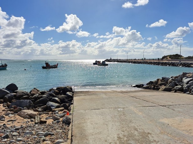
No sign of Parrie the stingray, but we got another beautiful view of the harbour
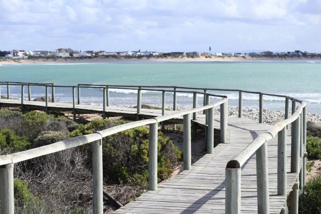
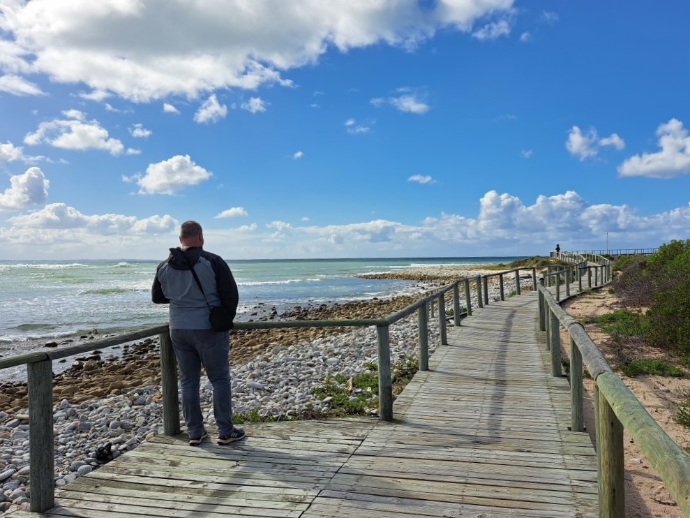
Walking on the boardwalk
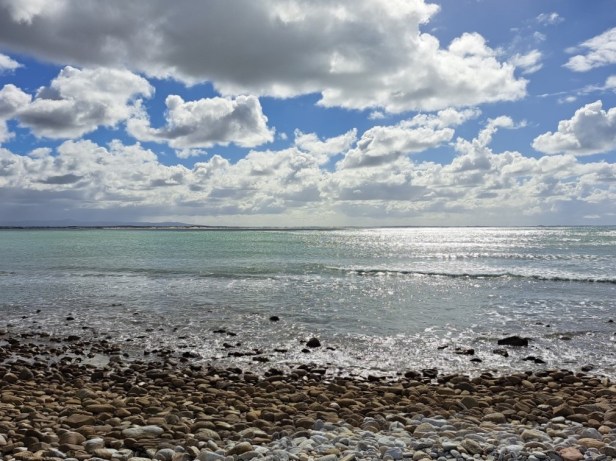
Last view of the ocean before we left Struisbaai harbour
After we wiped the sea sand off our shoes, we got back into our ‘bakkie’ and drove the short distance to Cape Agulhas.
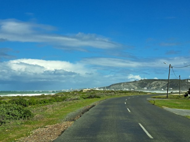
The small town of Agulhas in the distance
Cape Agulhas:
A bit of history: The name Cape Agulhas comes from the Portuguese navigators who called it Cabo das Agulhas—Portuguese for “Cape of Needles” – after noticing that around the year 1500 the direction of magnetic north (and therefore the compass needle) coincided with true north in the region. (Source: Wikipedia)
A couple of years ago, we visited the lighthouse and museum at Cape Agulhas. The 71 steps take you all the way to the top of the lighthouse, from where there is a beautiful view. Since I had that issue with my back and leg, we decided not to visit the lighthouse, but rather drive straight to the southernmost point.
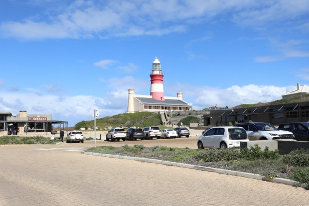
Lighthouse and museum at Cape Agulhas
At the southernmost point of Africa there are usually many visitors (read: tour buses). But we were very lucky that there was not a single tourist (or bus) in sight. We could take photos to our heart’s content while enjoying the sea views.
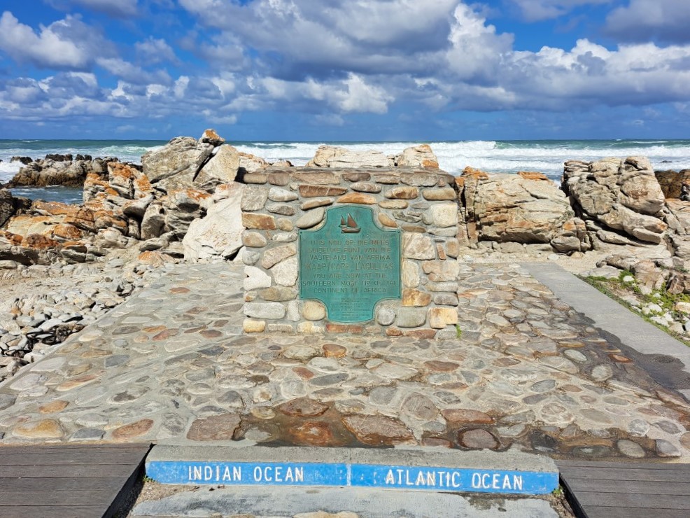
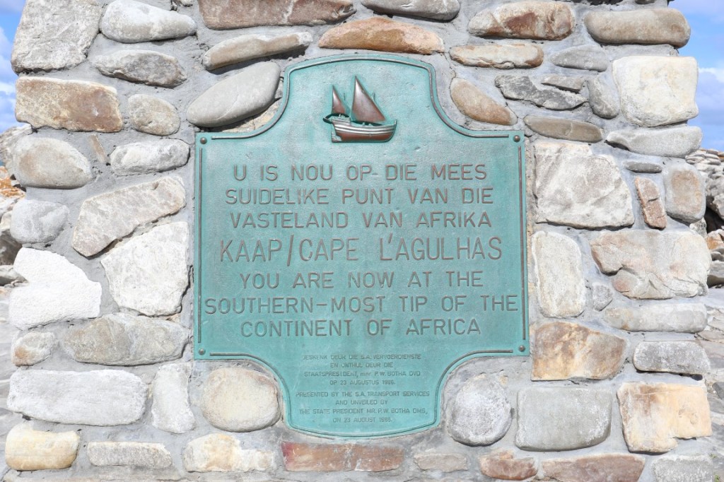
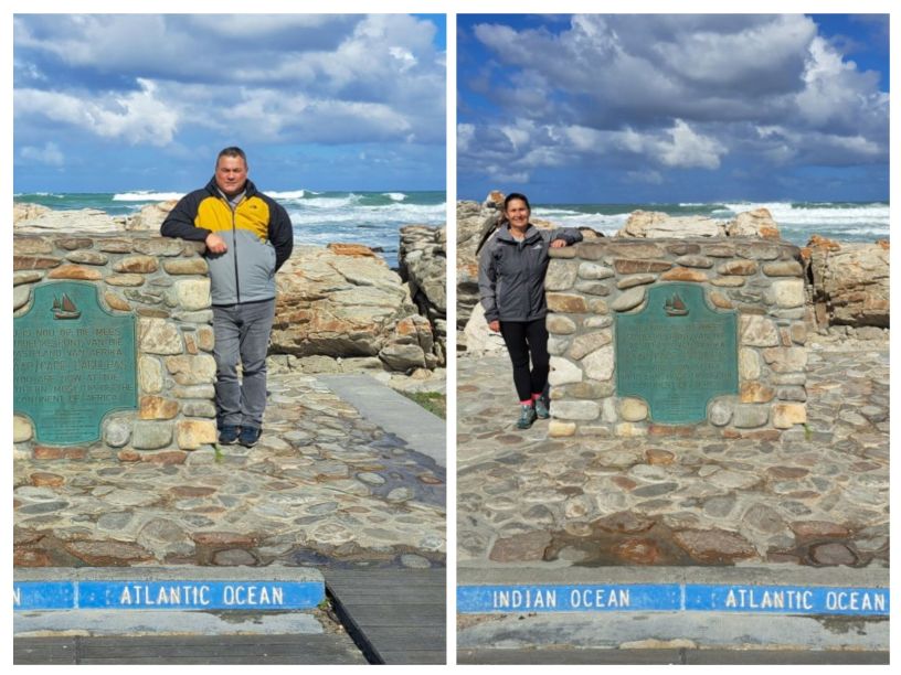
Marker at Cape Agulhas indicates the official dividing line between the Indian and Atlantic Oceans
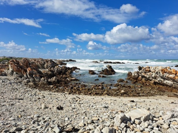
Somewhere out there, two oceans meet each other
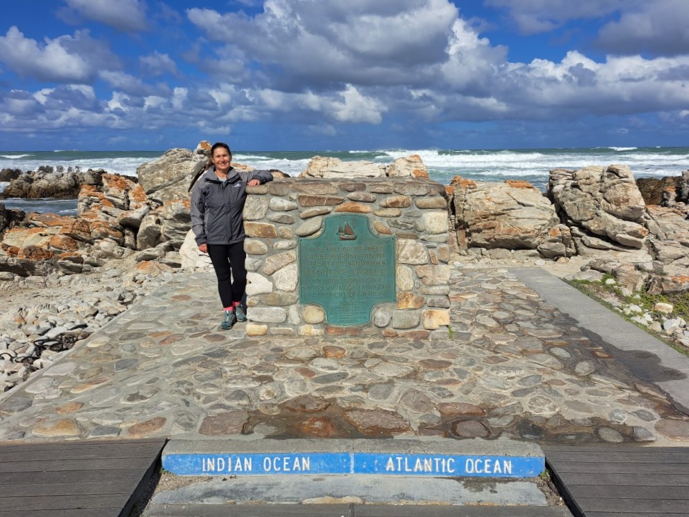
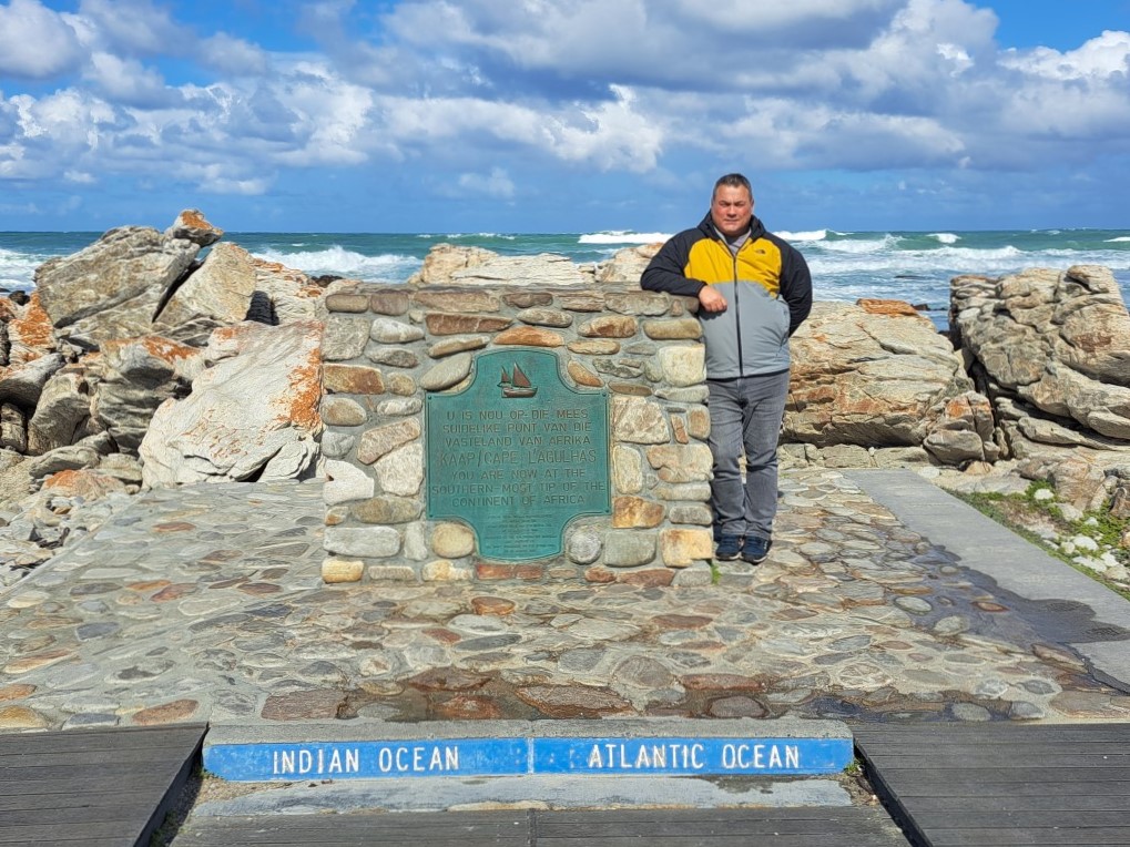
Standing at the southernmost point of Africa
It was then that I decided to jump into the air, spread my legs and lift my arms, to show my joy by standing (at the same time) in two different oceans – and that was the final blow to my pinched sciatic nerve. This jump just escalated my pain and ensured that for the next six weeks I could basically do nothing. Getting old is not for sissies!
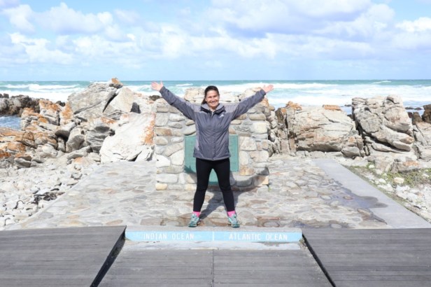
Ouch!
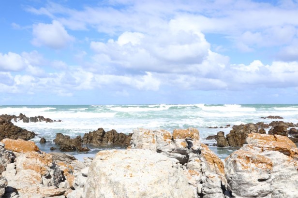
The wild Indian & Atlantic Ocean
From here we walked over to the ‘Map of Africa’. This stone map monument artistically represents the African continent and is 18 metres from north to south.
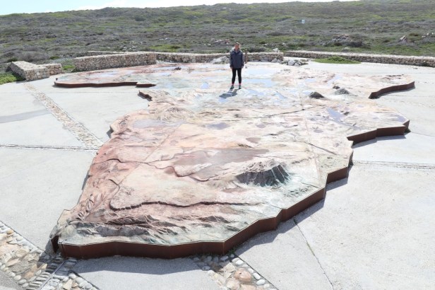
I’m standing somewhere in North Africa
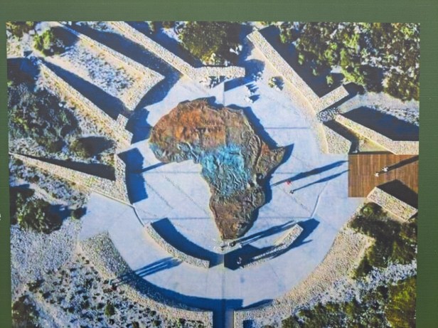
Aerial view of the map on the information board at the monument
Meanwhile, a light shower passed, and we decided to look for a place to enjoy lunch. But not before we stopped once more to take a few photos of the Cape Agulhas Lighthouse. The lighthouse, built in 1848, plays a crucial role in navigating ships through treacherous conditions at the southernmost point of Africa, where the Atlantic and Indian Oceans meet.
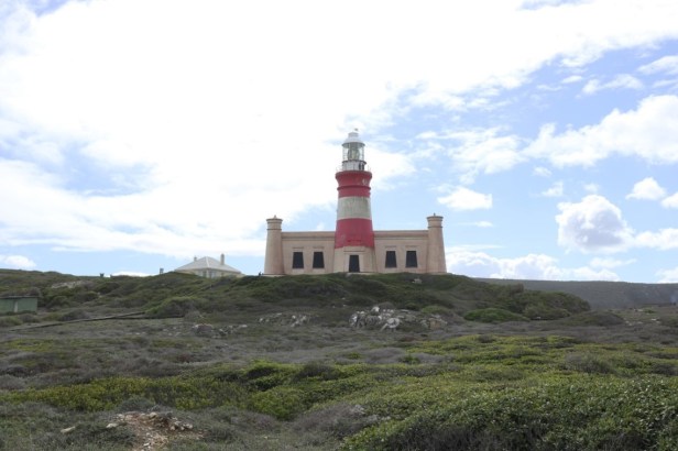
Cape Agulhas Lighthouse
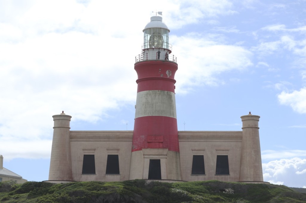
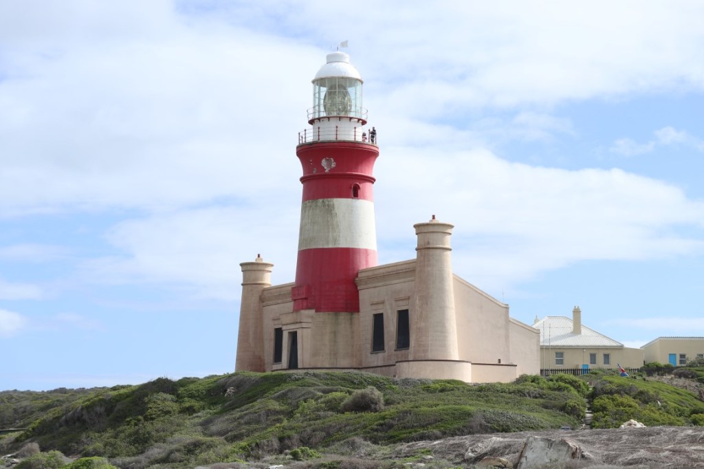
The lighthouse is built in the classic Egyptian Pharos style
The light rain caused most of the visitors to flock to the restaurants and we decided to drive to Struisbaai where the chance of getting an open table at a restaurant was better. On the way there, we saw the historic Anglican Church in Struisbaai, which has also been declared a national monument. While Berto took photos of the church, I found a takeaway restaurant that still had a table available. The crispy fish cakes and chips were delicious.
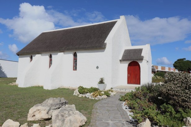
Historic Anglican Church in Struisbaai
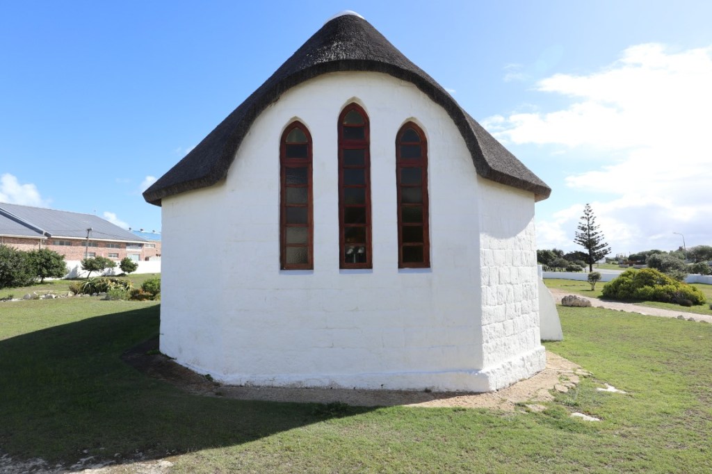
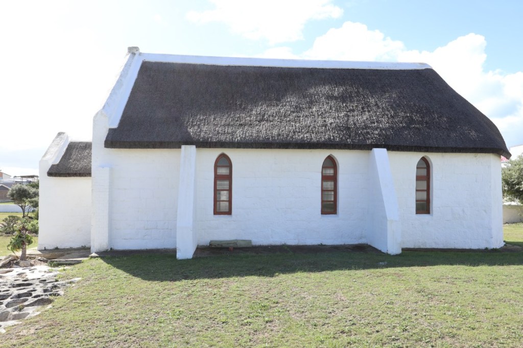
Anglican Church
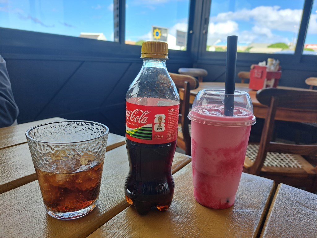
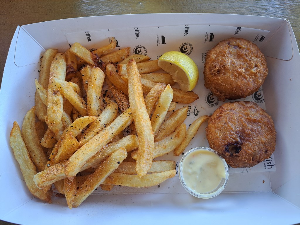
Light lunch
Between sunshine and dodging raindrops, we loved our time at Struisbaai’s charming harbour and the southernmost point of Africa at Cape Agulhas. We will most likely visit this part of South Africa again – it is that beautiful.


Nice that they made a big map and monument to mark the area. It made me realise, I’ve been to the most eastern egde of Canada, which is also the most eastern in North America. I’ve been close, but not to the southern point in Panama, but not even close to the northern and western points. No more jumping for you! Maggie
LikeLiked by 1 person
I agree, the presence of the map and monument makes this a very special spot to visit (especially since you can’t really see where the Atlantic and Indian Oceans ‘meet’). Oh, you have already been to quite a few ‘points’, Maggie – maybe you should make it a ‘thing’ since you travel so much 😉. Ha, I also think that jumping is forbidden for now – well, at least when it happens to be over two oceans!
LikeLiked by 1 person
There is something special about places like that – southernmost and the juncture of two mighty oceans and how nice that you managed to avoid tourist busses! I miss the ocean and always enjoy the photos. If I close my eyes I can hear and smell it. It is good for the soul.
I hope your injury is healing?
LikeLiked by 1 person
When we walked back to our vehicle, two tourist busses just arrived – talk about perfect timing! The breaking of the waves sounded extra loud here – I imagine it’s probably because the two oceans are ‘battling’ each other here 😉. Thank you, I feel much better (almost pain-free) – at least I don’t have to take tablets anymore, and I have started with short walking sessions again. All in good time!
LikeLike
The charming village of Struisbaai looks lovely with its whitewashed fisherman’s cottages. Cape Agulhas is stunning too where the oceans meet. I do hope you are making steady progress and more mobile now.
LikeLiked by 1 person
It’s wonderful that you have to drive through the beautiful coastal village of Struisbaai to get to Cape Agulhas. These two places are usually packed during the summer months, and I’m glad we could make a visit here in the quieter months. Thank you, Marion, I am now taking short walks on the farm and I’m pain-free for most of the day – it seems that my patience has paid off!
LikeLiked by 1 person
This is a day out I would definitely enjoy – a pretty harbour, coastal views, an iconic landmark and fish & chips to finish!
LikeLiked by 1 person
You’re right Sarah, this day had everything to make it a delightful outing (that is, if I forget about my injury). It’s such a beautiful part of our coastline, and I can understand why it is so popular – even during the off season.
LikeLiked by 1 person
How fortunate that there weren’t any tourists there, so you could enjoy the area’s beauty without having to dodge them. And, how could one not jump for joy at the confluence of the Indian and Atlantic Oceans!? I hope you’re feeling better now, Corna, and can continue to enjoy exploring your beautiful country.
LikeLiked by 1 person
We had perfect timing with our visit to the southernmost point of Africa – on the way back to our vehicle, two buses just stopped, filled with eager tourists and their cameras (well, who can blame them for the excitement) 😉. Thank you, Tricia, I feel much better. I don’t need any more pain tablets, and I am now walking short distances on the farm – my patience has been rewarded!
LikeLiked by 1 person
Oe, ek het heerlik saamgekuier!
LikeLiked by 1 person
Ek is bly Tannie Frannie het saam gereis (hierdie keer op bekende paaie 😊). Dit is so ‘n mooi deel van ons kuslyn en een van daardie areas wat mens maar meer as een (of twee of drie) keer kan besoek!
LikeLiked by 1 person
The southernmost point… how cool! This reminds me a bit of my highpointing goal. It looks lovely here, I can see why you’ll visit again.
LikeLiked by 1 person
I think your high pointing goal is a much bigger challenge than my southernmost point. And I think chances are slim that I will, in the foreseeable future, reach any of the other ‘most’ wind directions 🫣. Who would have thought it could be so beautiful at a place where so many ships have sunk over the centuries, right?
LikeLiked by 1 person
What a gorgeous place to explore, I enjoy fishing villages. There’s so much history and life stories attached to them. Though, I haven’t had the opportunity to set foot in South Africa, perhaps one day.
LikeLiked by 1 person
There is something special about fishing villages – especially if it’s actually still untouched. So, if you ever get the chance to visit South Africa, make sure you don’t miss a visit to Struisbaai and Agulhas 😊.
LikeLiked by 1 person
I refer back to your posts if I decide to visit 🙂
LikeLiked by 1 person
Oh wow it is so beautiful, what stunning photos. But I am so sorry that jump triggered your sciatic nerve, it sounds like absolute agony. I agree it’s best just to stay young – such a shame no-one can!!
LikeLiked by 1 person
It’s really a beautiful part of our coastline – and wonderful that it is actually still so untouched. Yes, that pinched sciatica nerve was terrible. At least it feels as if the worst is over (I make sure to bend my knees now whenever I want to pick something up from the floor … and no jumping – for now 😉).
LikeLiked by 1 person
Love all the colourful fishing boats and views of the harbour. Ugh, sorry to hear that it was that epic jump of standing in two different oceans that pushed things over the edge. Getting old is definitely not for sissies! The Cape Agulhas Lighthouse is beautiful.
LikeLiked by 1 person
Colourful fishing boats in the harbours of old fishing villages – I think it’s one of my favourite places to take photos 😉. Although the Agulhas lighthouse is not very big (or tall), it does catch the eye, right? Yes, no more epic jumps for me … well, at least not soon.
LikeLiked by 1 person
You have found yet another magic corner of RSA full of both beauty and history. Unfortunately, also bad backs! No more star jumps for you!! 🙂 Mel
LikeLiked by 1 person
This part of South Africa’s coastline is really beautiful – also very pristine, which makes it even more attractive to visit. Hmm, I don’t really know what the worst part of that jump was – jumping into the air or the gravity that pulled me back!
LikeLiked by 1 person
🙂 jump gently from now on, please!
LikeLiked by 1 person
I am so glad you enjoyed your visit to my part of the world. Next time you come this way, please let me know and perhaps we can meet. I am so sorry you are dealing with sciatica – I know all about it as several years ago I had to lie flat on my back for weeks in order to recover from an L4/5 injury. I still get the odd attack but it’s under control now.
The stingrays can be seen when the fishermen come back from sea, and the birds and stingrays opportunistically grab their scraps as they clean their fish in the shallows of the harbour.
LikeLiked by 1 person
I wish I had known you live in Struisbaai – I would definitely have contacted you – next time 😊. And thank you for the tip on when to see the stingrays.
A back injury is truly one of the most uncomfortable (and painful) injuries I’ve ever had … I couldn’t sit, lie, or stand and could only walk short distances. But I think, after 7 weeks now, I’m over the worst (well, I hope so anyway). Enjoy the beautiful part of our country where you live.
LikeLiked by 1 person
I’m so glad you’re on the mend. I know exactly how you feel. We do indeed enjoy this part of the world
LikeLiked by 1 person
Amazing photos. I like the boat filled with birds. The map of Africa is also very good.
LikeLiked by 1 person
Thanks, Mélodie. Cape Agulhas is such a unique place to visit and like you, I also found the map of Africa fascinating. We had a good laugh at the birds on the boat – I felt sorry for the boat owner because there was a big cleaning job waiting for him 😁.
LikeLiked by 1 person