July 2026
Driving on a scenic pass to a beautiful dam
As promised in our first post about our camping weekend at Dwarsberg Trout Hideaway near Rawsonville (read here), we’re now going to take you along the Stettynskloof Pass all the way to the end where the Stettynskloof Dam is located. Hop in and enjoy the spectacular views with us.
Stettynskloof Pass:
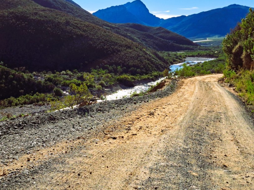
The Stettynskloof Pass is 18.3km/11.3 miles long and the road mainly remains on the south-eastern side of the Holsloot River which has carved this deep and rugged kloof through the Stettyn Mountains.
Most of the road lies on private land owned by Dwarsberg Trout Hideaway. If you’re a guest at the farm, like we were, you can drive this pass while staying in the cottages or camping there. The road rises and falls continuously and the scenery is really lovey with views of the river and the majestic mountains.
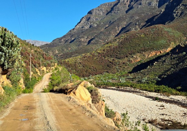
The road on the Stettynskloof Pass
About 4km/2.4 miles from Dwarsberg’s reception is the ‘upside down tree’. Luckily there’s a spot to safely pull over your vehicle and we were able to take a few photos here.
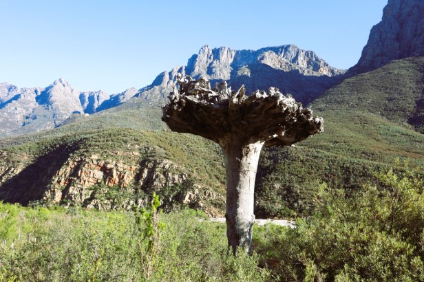
The upside down tree
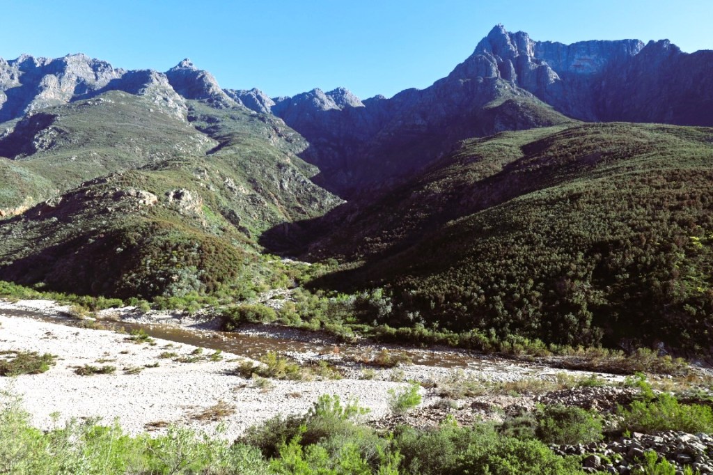
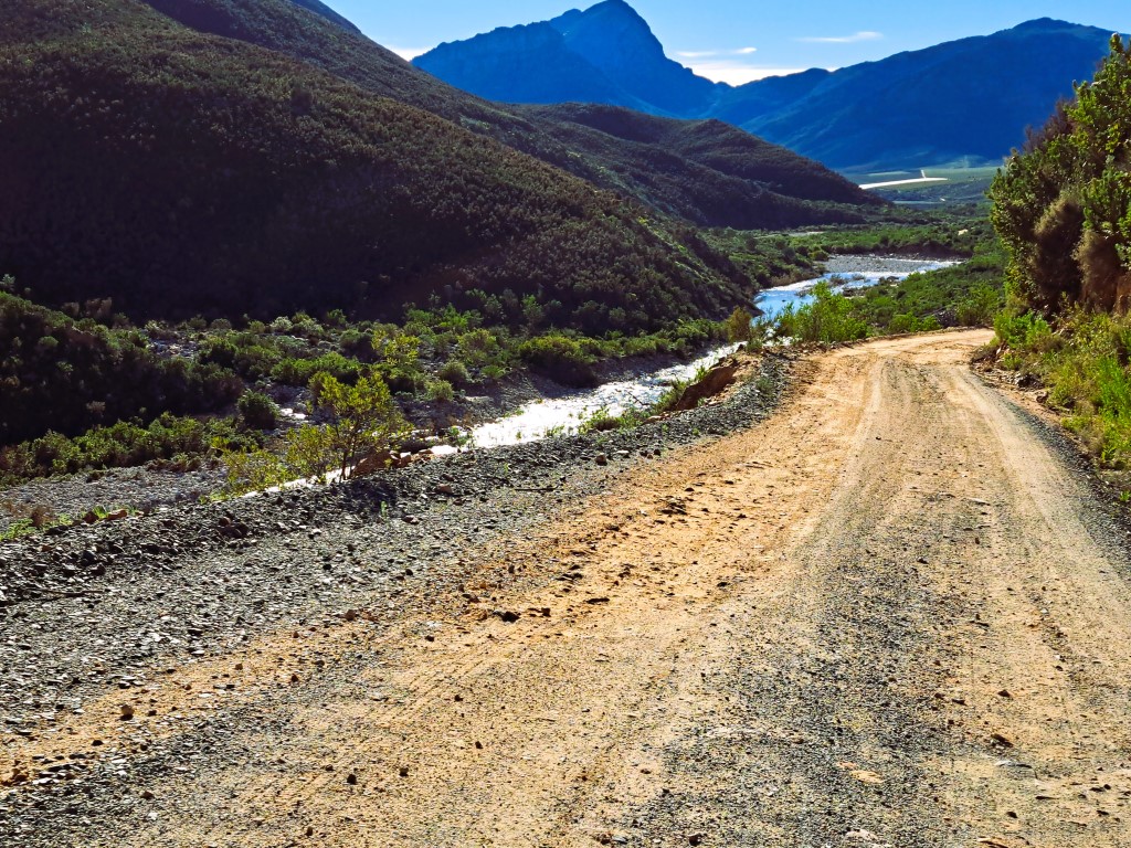
View of the Holsloot River and road
The road is quite narrow, but there are a few small widenings where cars can pull over in order to pass each other. We also saw a beautiful waterfall from the road. Before you think that this might be the waterfall we tried to hike to (read here), I can confidently say that it wasn’t because it’s on the other side of the river. But in the end, we did get to see a waterfall – just not while hiking.
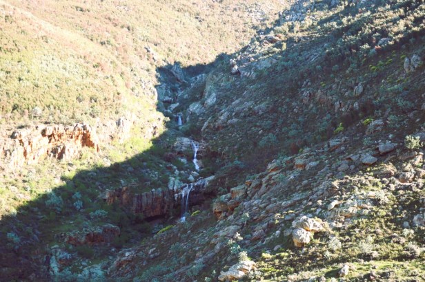
Waterfall on the other side of the river
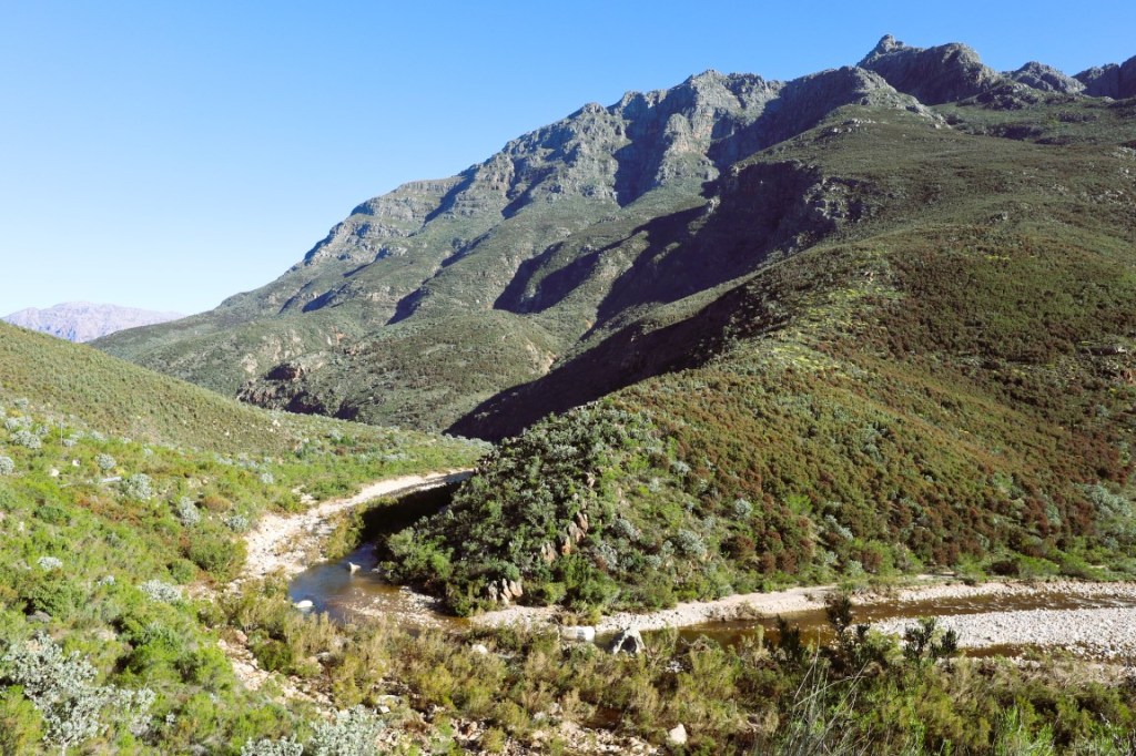
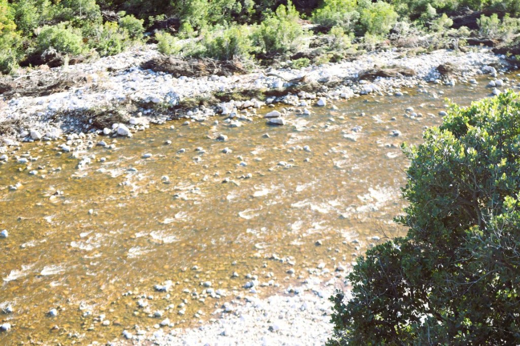
The road runs constantly along the river
Stettynskloof Dam:
After quite a few sharp turns (apparently there are 128 of them) and extremely steep drop offs on the river’s side, we reached a gate to the Stettynskloof Dam. The last 2km/1.2 miles to the dam are a steep climb and the road is rutted and corrugated. It’s maybe better to drive this stretch with a 4×4 vehicle (or if you’re in a 4×2, use the diff-lock).
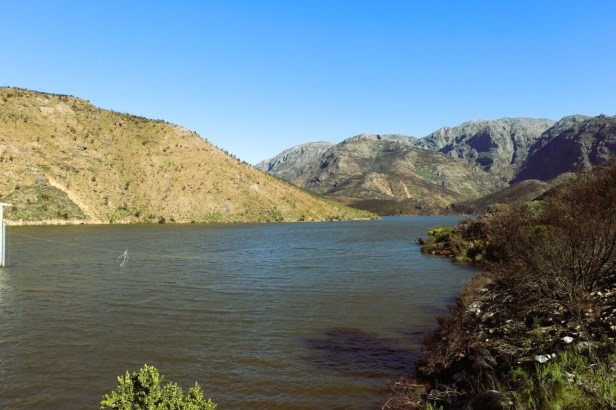
Stettynskloof Dam
The dam is a combined earth/rock-fill dam and was built between 1953 to 1955 as part of the Stettynskloof Irrigation Scheme. (When you drive along the pass, you can see the pipeline that transport the water from the dam to farms and the nearby town, Worcester.)
On the edge of the dam, we noticed tiny and colourful flowers. These purple and pink Oxalis (commonly known as sorrel) looked beautiful in the bright sunshine.
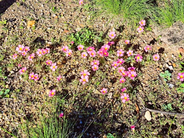
Colourful flowers
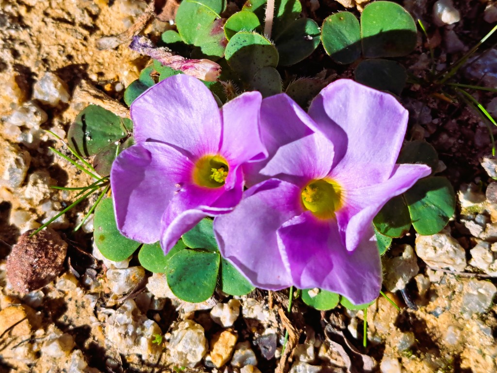
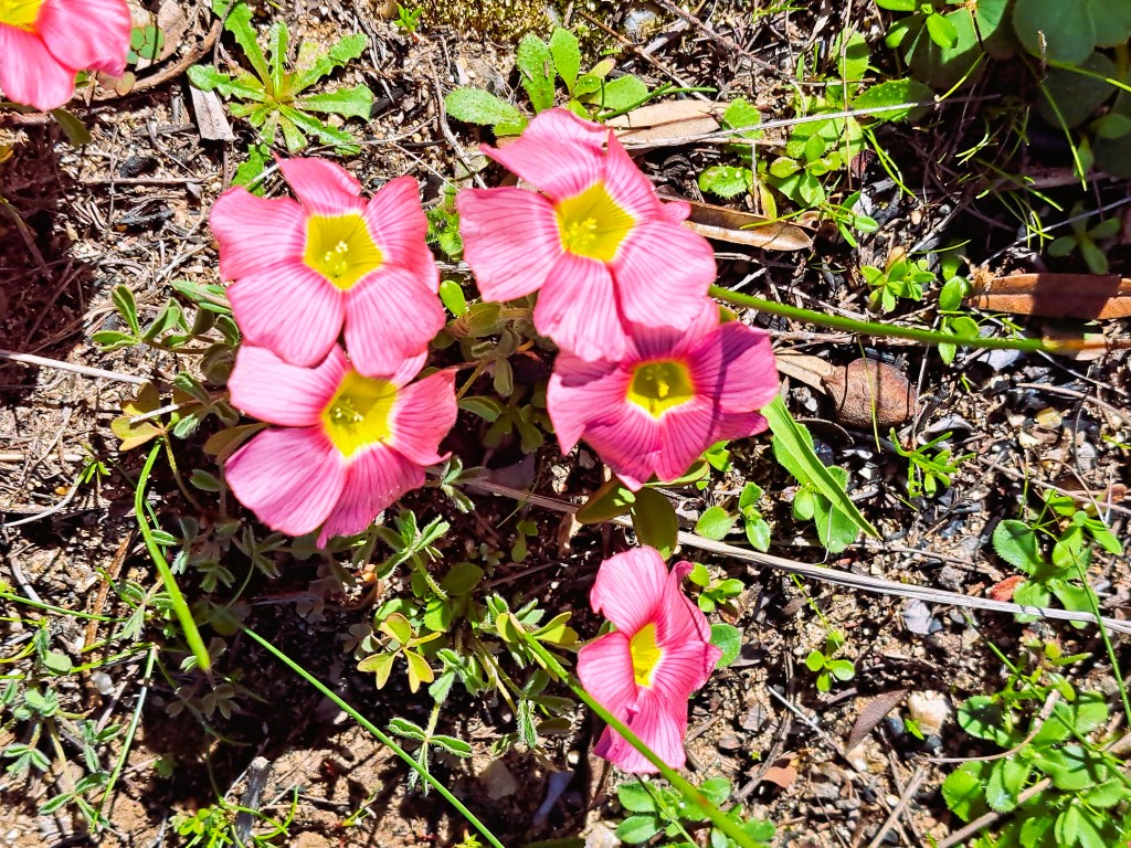
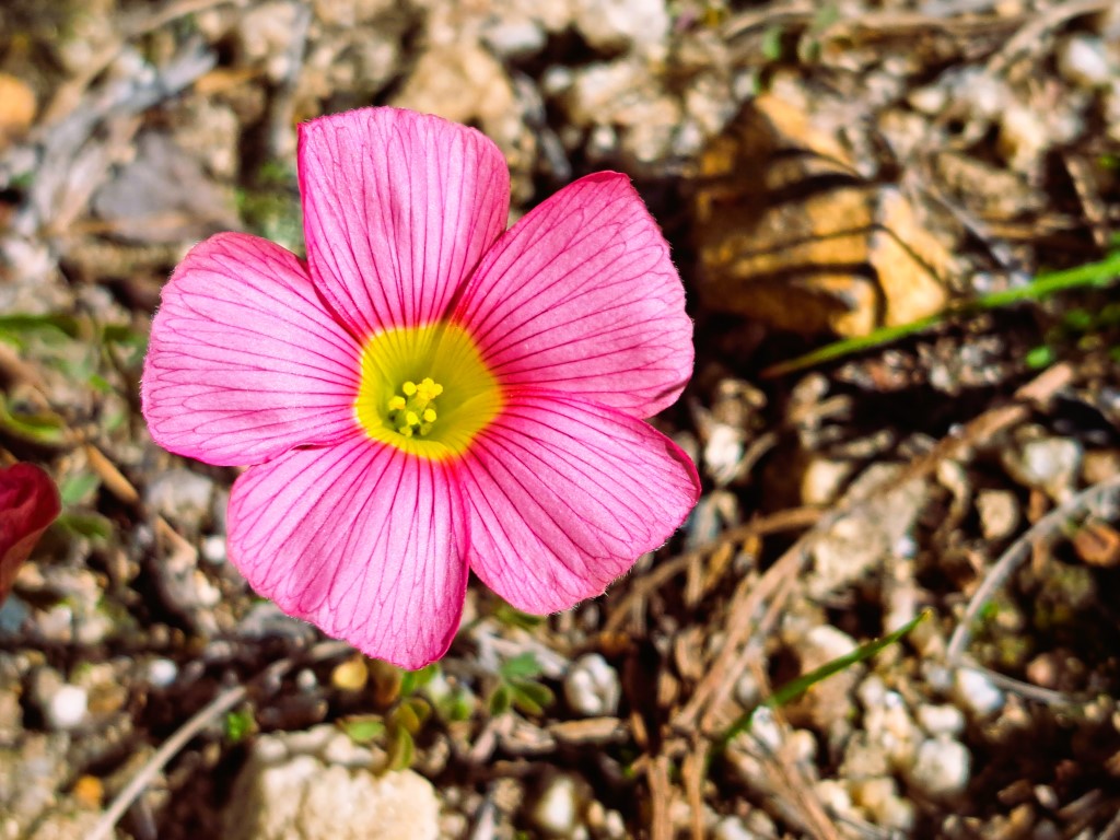
Oxalis/Sorrel
We read earlier that visitors are not allowed to walk on the steel walkway. However, the gate was open and there was no sign indicating that it was a restricted area. Berto walked to the middle of the walkway, took a photo, and then walked back again.
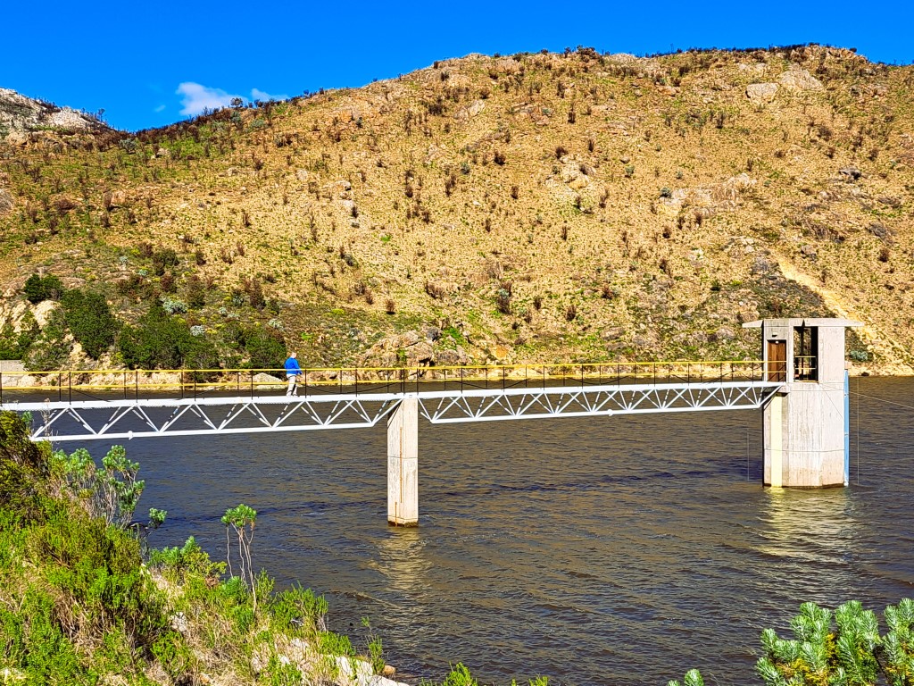
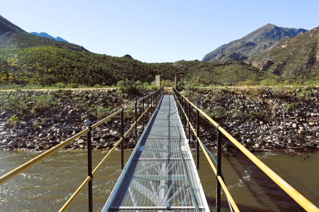
Steel walkway
There is another viewpoint at the very end of the dam wall where you can walk on the raised concrete path to look at the overflow. But take note: This is not for anyone who’s afraid of heights. I took photos from a safe distance, while Berto was brave enough to walk on the concrete path.
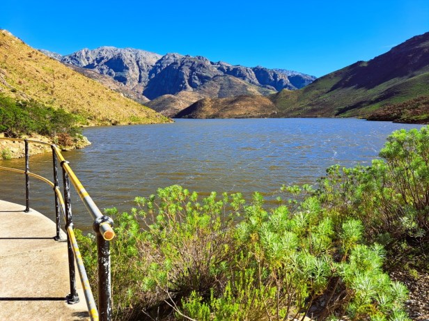
Stettynskloof Dam (my photo)
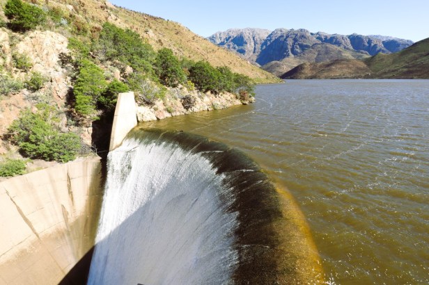
Stettynskloof Dam (Berto’s photo)
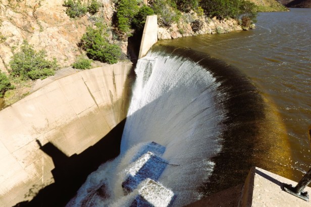
On the left you can see Berto’s tiny shadow
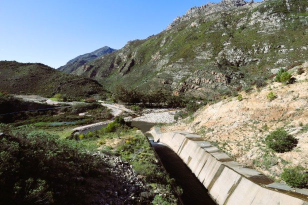
The overflow of water goes into the river
We slowly drove back to the gate and then turned around to see the overflow of water pouring over the edge of the dam wall down to the river. It was great to see the Stettynskloof Dam – a dam that isn’t really that well-known, but of great value to the area.
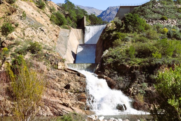
Looking at the overflow once we got back down to the river
From here, we got back on the narrow pass to our campsite at Dwarsberg Trout Hideaway. The Stettynskloof Pass and dam definitely gifted us a day of wonder.
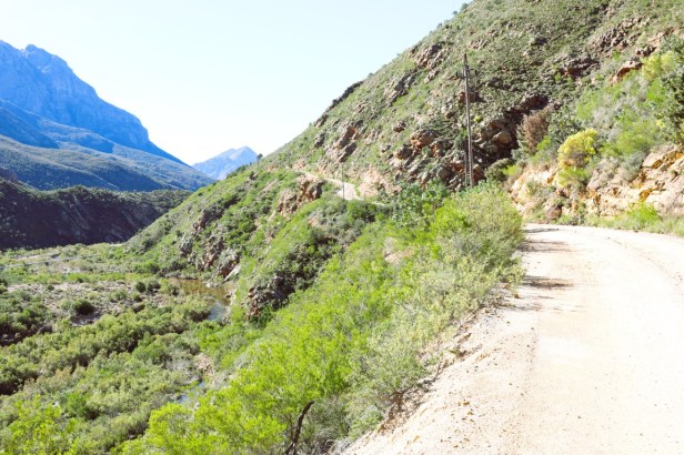
Back on the Stettynskloof Pass
We enjoyed the sights of the dam, river, rugged cliffs and majestic mountains. And we were even lucky to see the delicate glow of another Protea bloom – beauty and serenity that lingers long after the road has ended.
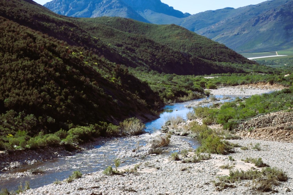
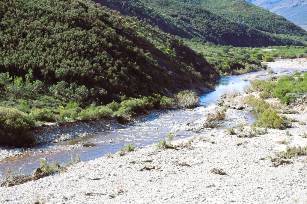
Holsloot River
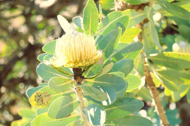
Protea nitida


You could maybe leave the car at the bottom and do that last 1.2km on foot? Wonderful views, anyway, Corna xx
LikeLiked by 1 person
You’re actually right, Jo. Because the pass can be driven with a regular 2×4 vehicle, there are people who stop at the bottom of the dam and then walk the last bit – so, it can be done! But why would we do that when we have a 4×4 (and the man is always up for a bit of adventure 😁).
LikeLike
But you know mine isn’t! xx
LikeLiked by 1 person
I know 😉. Even I am only halfway adventurous when it comes to certain things (like heights, for example).
LikeLiked by 1 person
Such stunning scenery and beautiful flowers as well. Looking at Berto’s shadow I can see tht I would nit be going up there either!
LikeLiked by 1 person
It was lovely to get a few unexpected surprises on this drive – like the ‘upside-down tree’ and that beautiful protea. Extreme heights make me nauseous and my hands sweat … so when Berto came back from that walkway and said even he was a bit light-headed, I knew I would never be able to walk there!
LikeLike
Splendid photos of the Pass and Dam with both your’s and Berto’s being really nice.
LikeLiked by 1 person
Thank you very much, Marion. It’s a beautiful area to drive through and it was wonderful to see the dam more than 100% full after the recent storm (which of course also resulted in all the beautiful winter flowers). Hope you have a wonderful weekend.
LikeLiked by 1 person
A rough road but worth the drive for sure, and the upside down tree is a fun extra! I’m always struck by a language difference between South African (and Australian) English and ours. We would call this stretch of water an artificial lake or reservoir, and we use the word ‘dam’ to mean the wall that holds the water back.
LikeLiked by 1 person
Usually when a road is a bit more of a challenge than it normally would be, I expect that we’ll be rewarded with something special – like the upside down tree and the view of the dam (yep, that’s what we call it here in SA 😁). Like you mentioned, it’s really interesting how we have different names for the same things – even though we all speak English!
LikeLiked by 1 person
Oh my; spectacular scenery, Corna! I particularly like the upside down tree; how interesting. However, I’m not brave enough to walk the dam wall! You certainly live in a beautiful country!
LikeLiked by 1 person
We were so surprised to see that upside down tree next to the road (and it always makes me happy to come across colourful flowers). I know my limits, and walking on that walkway by the dam wall was definitely not something I wanted to do 😉. Thanks Tricia, our country certainly has its challenges, but we can’t deny that it’s beautiful in terms of natural scenery.
LikeLiked by 1 person
Jou foto wat wys presies hoe hoog daardie betonpaadjie is, is meesterlik. Sjoe, Berto is baie dapper.
LikeLiked by 1 person
Dit is duiselingwekkend hoog 🫣. Soms moet ‘n mens maar net erken dat jy nie vir hoogtes gemaak is nie – dis ek daardie!
LikeLiked by 1 person
Crazy drive, but I get the sense that Berto loves those kind of drives 😊 It was worth it for the scenery. Maggie
LikeLiked by 1 person
You’re right, Maggie. Berto likes the more challenging 4×4 roads (and I don’t have a choice – it’s either ride along, walk or stay at home 😁). Most of the time, I’m glad I was brave enough to go along, because the views are usually stunning.
LikeLiked by 1 person
What a beautiful scenic drive. The upside down tree is really neat. Love all the colourful flowers by the edge of the dam. Glad Berto braved the steel walkway and viewpoint and took some pictures of what he saw.
LikeLiked by 1 person
We were really surprised to see the upside down tree – when we came around a bend, there it was right by the road! Yeah, I’d rather look for the little flowers while Berto does the more daring things – like walking at dizzying heights 🫣.
LikeLiked by 1 person
The dam is really impressive. I like the photos of the water cascading from it.
LikeLiked by 1 person
It’s actually a relatively unknown dam, and I’m glad we made the effort to drive along the pass to get there, because the dam (and surrounding area) is just beautiful. I don’t think the water usually flows over the dam wall, but after the recent storm it did … I think we could consider ourselves lucky to have seen it.
LikeLiked by 1 person
Wow the dam is huge! It looks like a lovely drive though 127 sharp bends – woah!! I love the little wild flowers along the way too 🙂
LikeLiked by 1 person
It’s a beautiful road to drive (but it can be a bit stressful if vehicles are coming from the front – which luckily didn’t happen to us 🫣). But the dam – and colorful little flowers – made the drive worth it.
LikeLike