
October 2021
4km (2.4 miles)
- Estimated time to complete according to brochure: 2-3 hours
- Our time: 4.5 hours
If a hike is only 4km, there’s definitely no rush to start early, right? We therefore took our time and enjoyed a warm breakfast of Pronutro and a few cups of coffee and tea. After re-packing our bags and filling our water bottles, we walked over to the start of the trail at around 10:00. Let’s go!
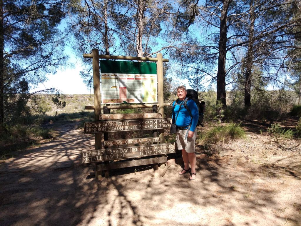

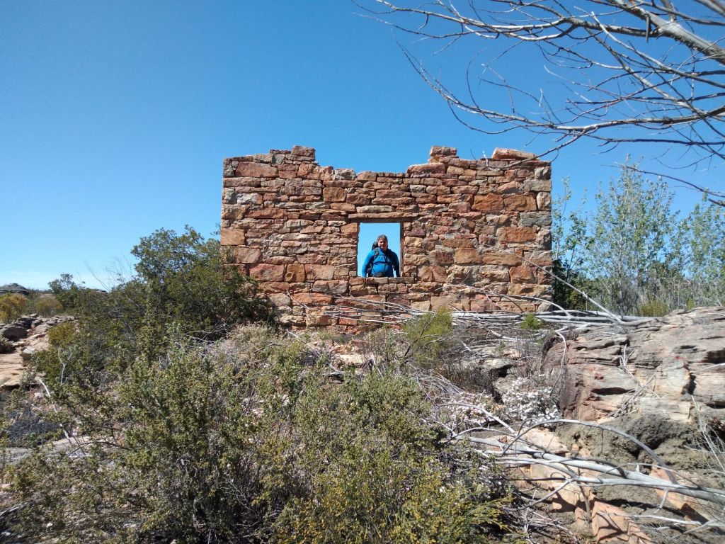
At the start of the hike, the hike goes through the poplar plantation until you reach a few ruins from earlier days. The whole route is marked with stones that are stacked on top of each other or just laid out in a line to show you where to walk.
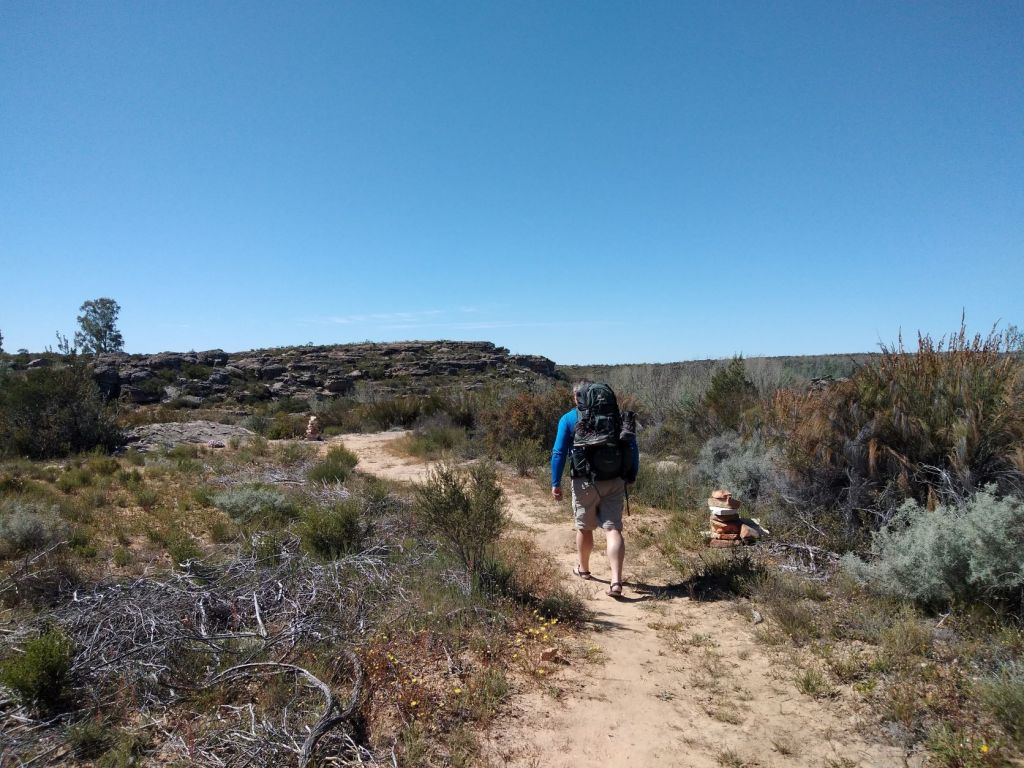
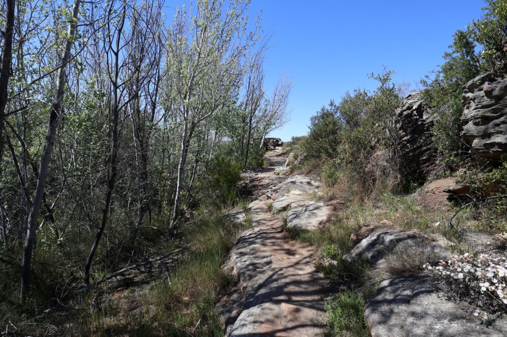
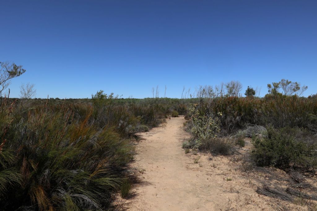
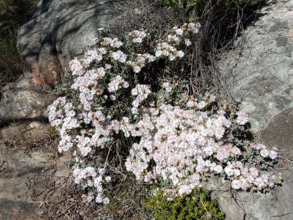
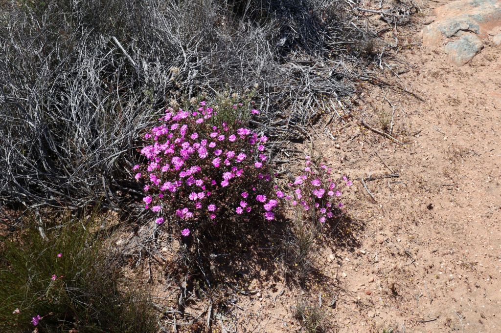
Although this area is well-known for beautiful spring flowers, we knew that most of these flowers would have been gone by now since we’re already in October. We were however still surprised to see quite a few pretty flowers during the next five days on our route.
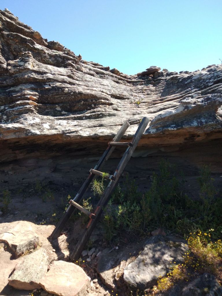
Just when we were completely relaxed, we came to the first of many ladders that we would have to use to climb up and down big rocks. For Berto this wasn’t really a problem, but for me (with my shorter legs and heavy backpack) it was quite a challenge. Sometimes I had to take off my backpack and hand it to Berto so I could climb up and down the ladder more comfortably.
We then reached a turnoff where hikers on the multi-day hikes needed to go left.
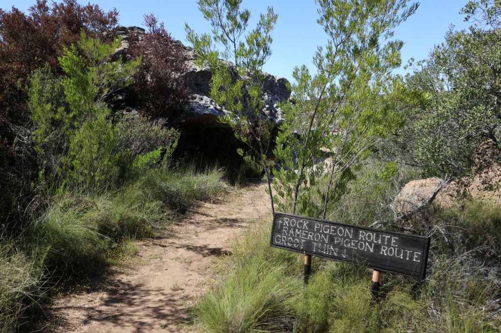
Once we took the turnoff, the trail heads over to the edge of the Saaikloof – seeing some interesting cracks and cliffs in the kloof (gorge).

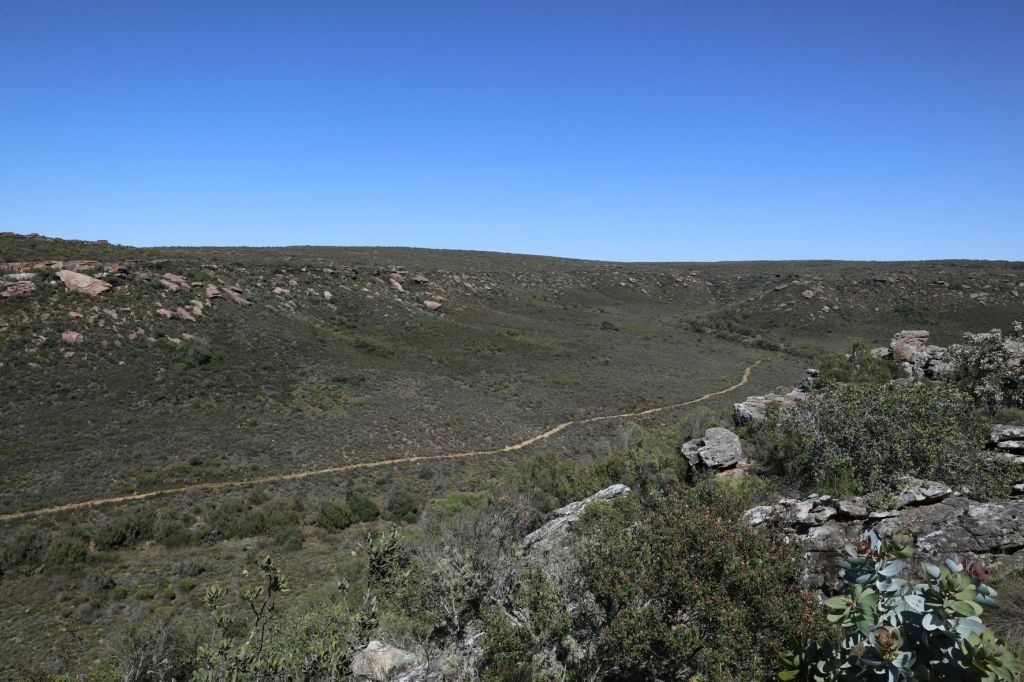

Now, this is where our brochure just mentioned that you have to keep walking for 3.6km until you reach your overnight camp – nothing was mentioned about quite a few ladders and rocks that still lay ahead.
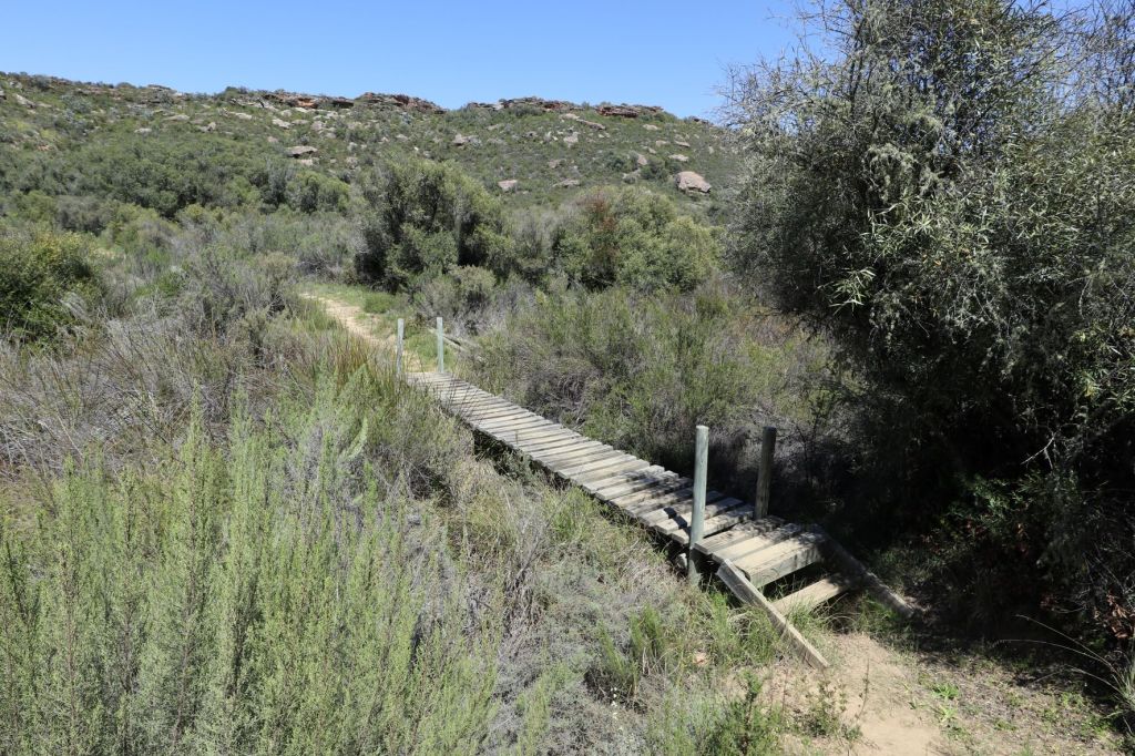
That’s also when our beautiful pathway disappeared and we came face to face with rock climbing/scrambling. Every now and then a path would appear, just for us to see more big rocks around the next corner we need to get ourselves over.


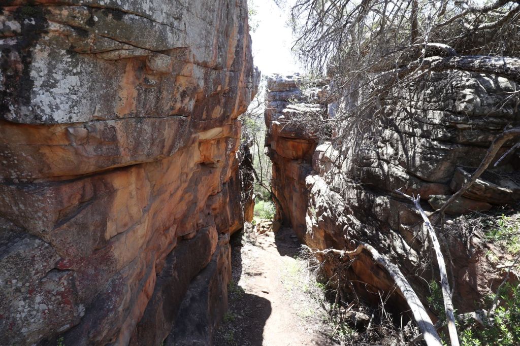

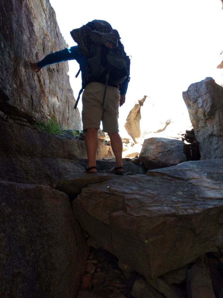
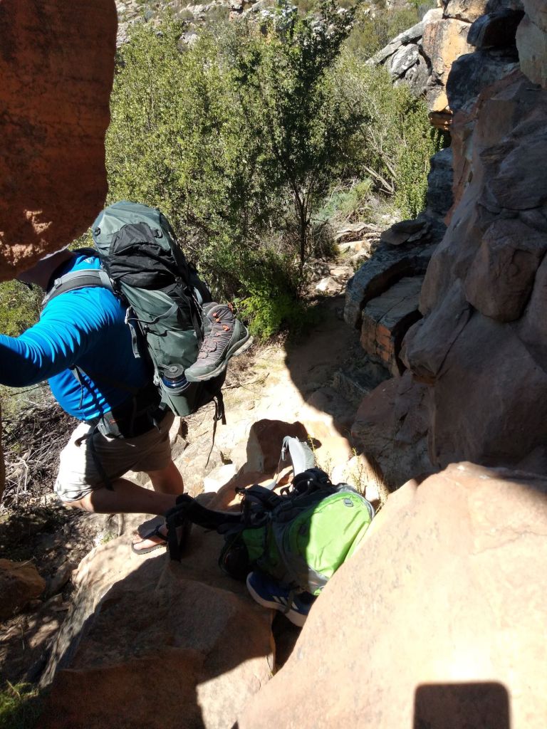
At some point, we got to a huge overhanging rock that gave wonderful shade. We took our backpacks off and rest here for a while.

And then it was back to climbing more rocks – happy days!

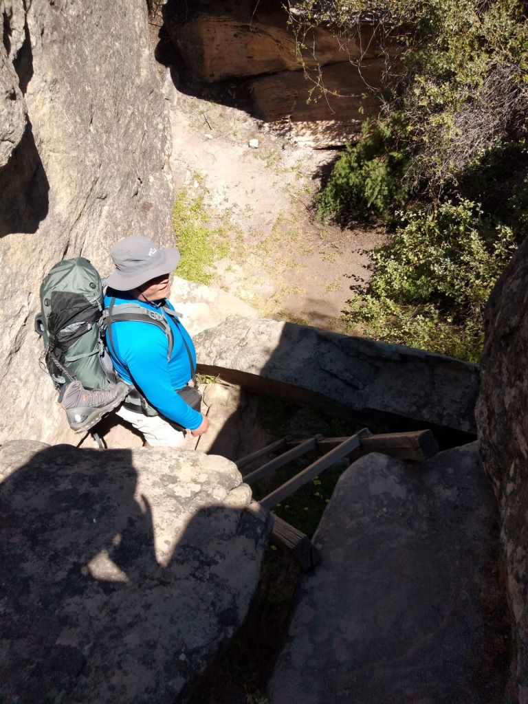
Finally, we got to the top of the mountain from where we could spot our overnight camp, Brakwater.

But of course, we still had to walk down that mountain with a steep slope to get to our hut. And let me tell you, this is not so easy with legs now feeling like jelly after climbing all of those rocks.
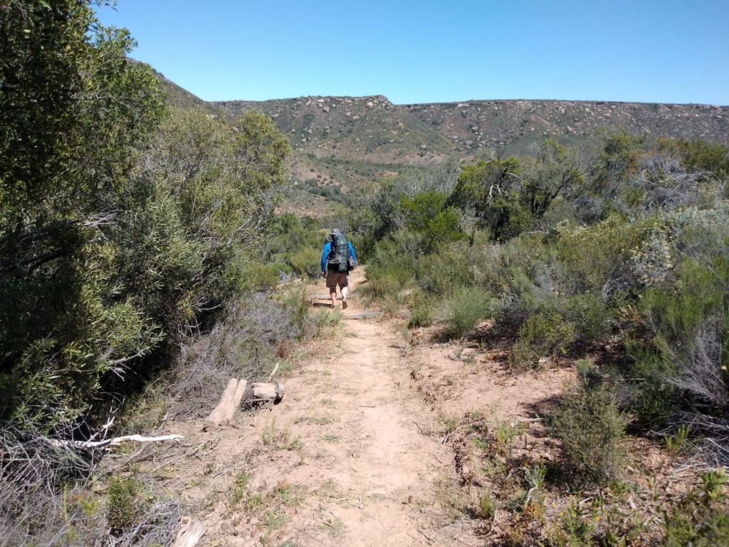

Honestly, I was delighted to get to our overnight hut. I looked at Berto a bit worried and said:
“So, when they say the first 4km is just a walk in the park, what do you think lies ahead for the next four days?”

All the huts are pretty much the same. There are 15 bunk beds, a table and two long benches. If you’re lucky, you may find a basin and shower. We only had a working shower in our first hut here at Brakwater (we will tell you more about our showers in the next posts). There is also a compost toilet located about 100 meters from the hut (so don’t forget to pack a flashlight or headlamp).


What about water?
Sometimes there would be containers filled with water in the huts, but other times (actually most of the times), we had to collect water from nearby fountains or the river. Since we had water available at this hut, we decided to wash our clothes. We only have two sets of clothes, and we’re not sure when the chance will come up again to do laundry.

This was quite a day! In hindsight, it was probably not that strenuous (Berto will tell you – I tend to disagree), but we did not expect the terrain to be that rugged right at the beginning. The brochure mentions that the first 4km are not considered part of the route – apparently the actual route only starts the next day.
It was only the two of us in the hut (as was the case with each of the following days). So, after we’ve enjoyed a shower, done the washing, making our beds and packing out some stuff on the table, there was only one thing left to do.
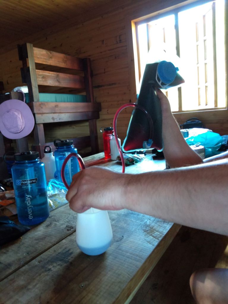
Confession time: We brought some luxury with us. We thought a drink in the afternoon after a day of hiking, would be the perfect way of ending each day. Berto had the clever idea of filling a water bladder with red wine (we carry our water in two 1l bottles each), and I had a small 1l box of red wine in my backpack. But I will tell you more about this in the next post.

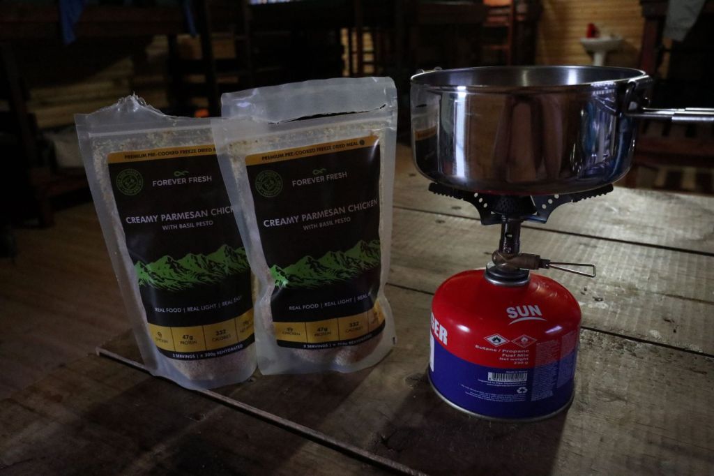
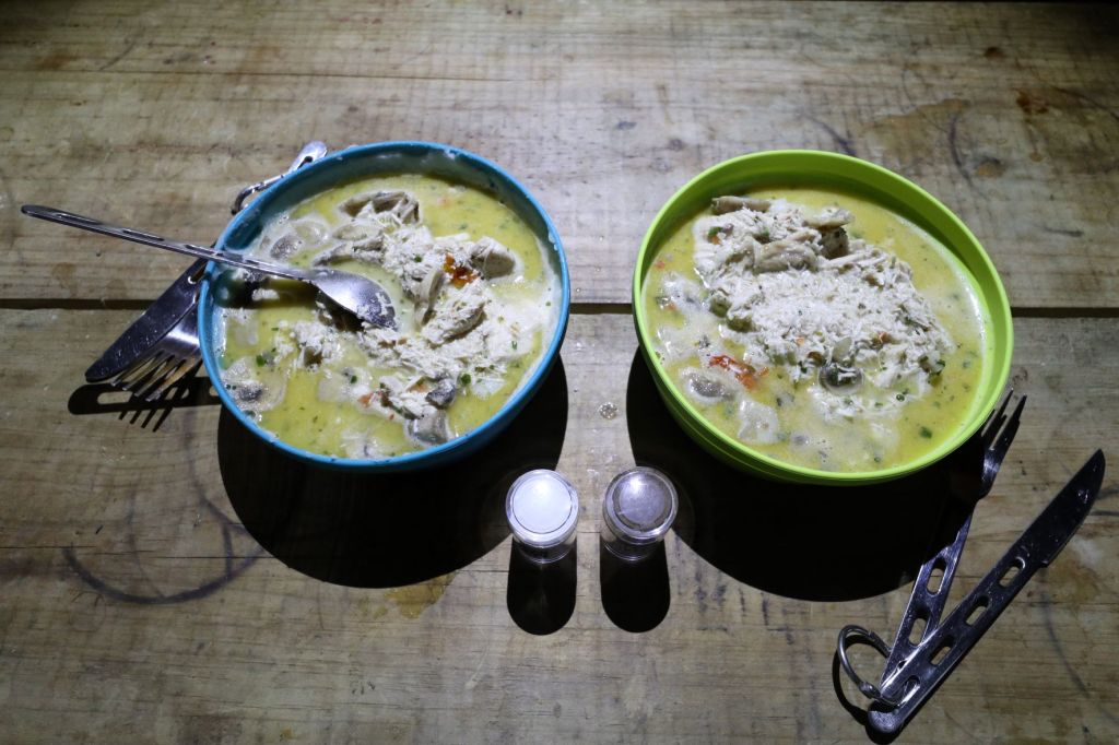
Oh, and let’s not forget about our freeze-dried food. We have never tasted these before our trip – so, it was probably a bit of a risk to rely only on this for dinner on our hike. But oh boy, it was GREAT! Once we’ve added the hot water to the contents and let it stand for a couple of minutes, it tasted like a home cooked meal.
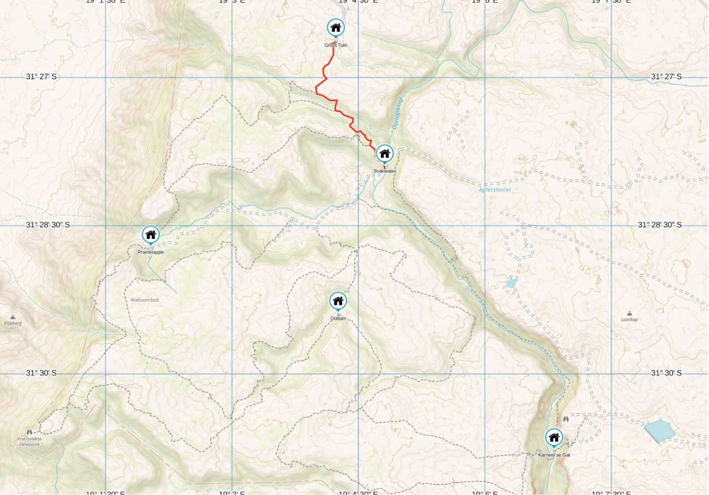
We will conclude each day with a map of our route, as well as an elevation map. It’s difficult to explain to you how steep an uphill or downhill is, and there’s no indication of how many rocks or ladders we’ve climbed. Hopefully the maps will give you some idea.

So, what will tomorrow bring?
You will have to wait for the post on our second day. Because we had quite a rough night, which we’ll tell you all about in our next post. You can read about that, when you click here


That rock scramble looks pretty intense. It’s hard to believe that it was only a 4km hike! What a treat to stay in a roofed accommodation rather than in a tent. That must have been nice to have it all to yourselves too. I’m glad to hear that I’m not the only one to lug wine in my backpack! Priorities, right? Looking forward to hearing about day 2. Or is it day 1 since this doesn’t officially count towards part of the trail? Oh gosh.
LikeLiked by 1 person
Ah, I’m so glad to hear you also have that wine luxury in your backpack – absolutely priorities 😁! For me, this was certainly day 1 – that 4km was exhausting and well worth counting as part of the trail! And yes, after a hectic day on the trail, all you need is a bed and a roof over your head (I doubt I would have the energy to pitch a tent)!
LikeLiked by 1 person
I love the rugged rocks that you climbed up and over. To me it makes the hike much more interesting, but easy for me to say as I read your story at home 😊 Maggie
LikeLiked by 1 person
That’s true Maggie, the rock formations are absolutely breathtaking beautiful … but after climbing these continuously up and down for a couple of hours with a heavy backpack (and later for a couple of days), the fun sort of disappear 😉. And you’re right, the hike was certainly interesting!
LikeLiked by 1 person
By the way we have a designated wine bladder too! They’re awesome in the backcountry!
LikeLiked by 1 person
Oh, that’s great to hear Maggie 👏 … from now on, this will also be our designated wine bladder!
LikeLiked by 1 person
I am seriously impressed! Doing all that without a backpack would be challenge enough. It’s funny the things that help, when you find yourself stripped to basics. In Sudan we had a bottle of brandy that we rationed. At the end of three weeks we used to pass the bottle around just to smell the the aroma which was all that was left. Then we gave the bottle to a small boy who was thrilled. But I would have been filled with dread at the end of that day! Oh, and that overhanging rock…no way I could sit under it. I would be certain that it would fall on me! Great to be taking this trip vicariously!
LikeLiked by 2 people
Oh, I’ve enjoyed your story about that brandy bottle now 😅. Yes, small things sometimes helps you to forget how difficult a day was … until the next day, that is! I was so happy to find some shade under that overhanging rock that I did not really think of how long it’s been in that position (afterwards, looking at the photo, I did had some goosebumps)!
LikeLiked by 1 person
Challenging as it was, it looks like a fun route too with all the rocks. How relaxing to have a hut for the night and to have it all to yourself. Looking forward to reading more about this trip!
LikeLiked by 2 people
I’m not sure I have used the word “fun” a lot on this trail ☺️. But you’re right about that hut we had all to ourselves – the highlight of each day! See you again soon on day 2 somewhere in the mountains!
LikeLiked by 1 person
Oorlogskloof is a great word. I’d need a fair bit of red wine before I could pronounce that correctly!
LikeLiked by 2 people
😂 You’re so funny! I think it’s thanks to that red wine that I survived Oorlogskloof!
LikeLiked by 1 person
I loved experiencing this walk through this post and I think that you are so brave and very adventurous too. I can’t wait to read your next post!
LikeLiked by 1 person
It was quite an adventurous hike, that’s for sure! Someone asked me after the hike if I’ll do it again and I said it’s sometimes good not to know what’s waiting for you, otherwise I would certainly not even think about doing this trail! I will see you then again on day 2, take care 🌸.
LikeLiked by 1 person
Looks like it was a challenging hike. I also ran into some unexpected rock climbing on our Devils Bridge hike back in April.
LikeLiked by 2 people
Indeed a challenging hike! Oh yes, I remember your post about those rock climbing … like I’ve said in a previous comment, sometimes it’s good that we don’t know what is waiting for us!
LikeLiked by 1 person
So True!
LikeLiked by 1 person
The rocks and ladders look very challenging and downright dangerous to me. You did well to avoid any injuries. I now know why it was important to have a good first aid kit. I hope to see more great views but easier terrain in the upcoming posts.
LikeLiked by 2 people
John, you’re spot on with the dangerous ladders! I sometimes had a look at those ladders and thought we were absolutely crazy to trust them! And I’m afraid to say … nope, no easier terrain on the next couple of days … in fact … 😬.
LikeLike
Phew, you made it! There were definitely some hairy moments during that hike, but you got through it. I like the idea of following the little piles of rocks. Despite the anxiety, the views looked to be incredible. And to not have anyone else around sounds like heaven to Sladja and I. REALLY want to try those freeze-dried meals.
LikeLiked by 2 people
At first, when I read about the rock piles being waymarkers, I thought it would be difficult to recognise them (between all the other rocks), but it was actually quite easy to follow! Yes, I must admit, we had some really terrific views on this trail (despite the hairy moments) and walking all on our own and seeing not a soul, was great. I was pleasantly surprised with our freeze-dried food – we had a different meal every evening and could not wait to taste the next one! Thanks for reading Leighton, see you again during day 2.
LikeLiked by 1 person
Gosh, all those rocks and ladders to negotiate on your first day with such heavy backpacks. I’m not surprised that your legs had turned to jelly by the time you reached the hut. It must have been worthwhile carrying the wine though, a definite pick me up after such a strenuous day and a chance to put your feet up and relax.
LikeLiked by 2 people
That’s true Marion, a day could be extremely difficult out on the trail, but once we reached that hut and had our first sip of red wine while appreciating our surroundings, all tiredness and pain disappeared (until the next morning) 😉. Thank you for walking (and climbing) with us, we’ll see you again somewhere on the trail.
LikeLiked by 1 person
Sjoe dit was omtrent ‘n moeilike dag1 van julle staptog! Daardie lere lyk ook moeilike want die sporte is so ver van mekaar! Ek sou dit nooit met my kort bene gemaak het nie 😀 Daar gaan my eerste hoed! 🤠 Dit is ‘n pragtige omgewing en die rotse is indrukwekkend. Ek sou beslis ook die wyn saamgedra het Corna! Sien uit na die volgende episode!
LikeLiked by 1 person
Sien Aletta, dis ons met ons kort bene wat altyd sukkel 😁! Dit is regtig ‘n pragtige omgewing (en kan net gesien word as jy daar gaan stap). Daar het ‘n verskriklike ding met my wyn boksie gebeur (maar vertel meer daaroor in ons volgende post) … jy kan maar nog hoede gaan uithaal 😅.
LikeLiked by 1 person
Ek sal nog hoede gaan haal! 😀
LikeLiked by 1 person
👍🏻😅
LikeLiked by 1 person
Wow, what a hike! Only 4 km maybe, but no way could I do this! I am super impressed with your achievement and can’t wait to read more 🙂
LikeLiked by 2 people
Oh, thank you so much Sarah! If you had told me beforehand that I would do something like that, I would probably just laugh … but hey, I surprised myself during this hike 👍🏻.
LikeLiked by 1 person
This looks like such fun, Corna! And you & Berto are SUCH bad asses! (That’s a compliment, not an insult!) I might pass on the food, but the rest looks fantastic! Thanks for sharing & I’m looking forward to hearing and seeing more! 🌞
LikeLiked by 1 person
Haha … “fun” was not a word that I often used on this trip! But thank you, I also think we were quite bad ass 😅. The company from whom we ordered our freeze-dried food, also have vegetarian options … I would have loved to carry some broccoli/carrots/tomatoes with me for REAL food (but in the end, the wine won 😄). Thanks for reading, we’ll see you somewhere on the trail again 💌.
LikeLiked by 1 person
There’s nothing quite like the feeling of fresh air on your face and rugged terrain underfoot – this part of the trail looks and sounds like a proper adventure! And that’s why I always found myself drawn to hiking and hillwalking, because when you embark on a hiking challenge, what happens on the trail, doesn’t stay there. It gives you the confidence to attempt challenges in other areas of your life and it fulfils you with gratitude and opportunities to challenge yourself. Thanks for sharing, and have a nice day! Aiva xx
LikeLiked by 1 person
Aiva, we love to be out in nature – like you said, the fresh air definitely is nature’s best medicine 😊. And an adventure it surely was … and yes, I’ve challenged myself to the limit on this trail! Thanks again for reading, have a great week. Corna 🌸.
LikeLiked by 1 person
Off to a good start then! Looks like great trekking though, we love routes like this. Can be a bit testing but you get a great sense of achievement when you finish for the day.
LikeLiked by 1 person
Oh yes, I’m sure this is your kind of trail! Was VERY testing, but you’re 100% right … looking back every evening after ending a day, did leave me with a sense of achievement (actually, I think I was quite surprised at what I did 😉).
LikeLiked by 1 person
Beautiful hike..looks like old stone fallen house from years ago. When you returned it was great to sit down and relax.
LikeLiked by 1 person
That’s true Anita, the area is indeed beautiful (though very rough on the foot)! There’s nothing so good as to sit down (with a glass of wine) after such a long day on your feet 😁.
LikeLiked by 1 person
Well done! ‘n Heerlike aand na ‘n rowwe dag. Jou man waag darem baie om met sandale te stap!
LikeLiked by 1 person
Dankie Toortsie! As jy dink die 1ste dag was rof, moet jy uitkyk vir ons dag 2 post binnekort (wel, ek het dit vinnig onderbreek met ‘n onstuimige nag post …).
Gewoonlik stap Berto met sy bootse, maar ons dog mos toe dat 4km nie so erg kan wees nie 👀 (hy’t wel die volgende 4 dae sy bootse aangehad). Maar ek het die hele staptog met my Bedrock sandale gestap … jy sal die bewyse nog in die volgende plasings sien!
LikeLiked by 1 person
You must have been exhausted!!! What an amazing start to the route, though I’ve no idea how you did it with those backpacks on – you guys are amazing 🙂
LikeLiked by 1 person
To be honest Hannah, I’ve got no idea as well how I did it with my HEAVY backpack 😅. But I think I learned from our previous Camino experiences … one foot in front of the other, that’s all I was thinking about! Thanks for popping in – much appreciated!
LikeLike
Oh my goodness me😳😳😳… That is very challenging, those ladders, oi, you have my admiration! Now my mother loved that kind of thing. She climbed with ropes and chains. I really enjoyed reading this
LikeLiked by 1 person
I remember you said your mother was into this mountain “climbing thing” … well, I can tell you this: After our hike in Oorlogskloof, I got so much admiration for your mother! This was certainly (by far) not the easiest hike I ever done! Wait till you see day 3 (still need to post that one) …
LikeLiked by 1 person
😁💖
LikeLiked by 1 person
Can’t believe Berto was walking in sandals! Aren’t snakes a problem there? Mel
LikeLiked by 1 person
Mel, he only walked in sandals because he thought the 4km would be a nice stroll (which it obviously wasn’t) 😅. For the next 4 days he wore his boots … but you will notice I’ve done the whole trail in my trusty Bedrock sandals! They do warn about the presence of snakes (and we did see one small snake on our first day), but fortunately nothing on the rest of the route!
LikeLiked by 1 person
That’s amazing. There is no way I could walk all that way in sandals. I would end up with no toe nails and 10 stubbed toes! Whatever works for you though…
LikeLiked by 1 person